What is recorded here
On a very slight NE-facing slope in gently undulating pasture. A polygonal cist was uncovered in 1977 by ESB workmen during groundworks (dims. L. 0.52m N-S; 0.82m E-W) and archaeological excavation showed that it was constructed with a single base slab laid flat and five main side slabs. A ring of smaller slabs lay on top of the side slabs with the effect of narrowing the top to hold the single capstone in place. The cist contained an inverted encrusted urn, located slightly to E of centre, over a deposit of cremated human bone representing the remains of at least two adults, one young. A food vessel was located against the W wall (Ryan 1977, 21-26).
Compiled by: Jean Farrelly
Date of upload: 26 August 2011
A small polygonal cist, likely Bronze Age in date, uncovered during groundworks in 1977; such cists were typically used for inhumation burials and are significant for understanding early funerary practices in the region.
The monument record does not grant public access. Check the route and ask the landowner before entering private land.
- What survives
- Recorded monument
Places near here
 Carn (site of)Cairn, burial cairn · 203 yd
 TobergobinetHoly well · 462 yd
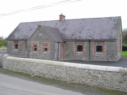 Knockcarron National Schoolschool · 819 yd
 Enclosure in Ballynamona (coshlea By.)Enclosure · 1.0 mi
 Church in Lackelly WestChurch · 1.0 mi
 Ryves CastleCastle, unclassified · 1.6 mi
 Glebe Ho.Castle, unclassified · 1.9 mi
 Saint Patrick's WellSpring · 2.5 mi
 St Patrick's WellSpring · 2.7 mi
 SlievereaghMountain / peak · 4.8 mi
 Knockanebrack HillMountain / peak · 5.1 mi
 Ballinvreena LoopVisitor information · 5.2 mi