What is recorded here
Situated on a gravel ridge, in gently undulating pasture with Riverstown River c. 120m to SW. Not depicted on the 1837 OS 6-inch map or on the revised 1913 ed. OS 25-inch map. According to Waddell (1970, 94, 135) this is a short rectangular cist (dims. 0.5m NNE-SSW; 0.3m WNW-ESE) defined by overlapping side stones and containing a bowl food vessel and the cremated bones of an adult (NMI Reg. Nos. 1963: 43: 44). Rynne (1964, 114-7) describes it as a Bronze Age cist. Monument is not visible on Digital Globe aerial photography
Compiled by Alison McQueen, Vera Rahilly and Caimin O’Brien.
Date of upload: 09 July 2019
A Bronze Age cist tomb, likely dating to the early first millennium BCE. Its presence indicates prehistoric settlement activity in the area, though its wider significance remains unexplored due to limited documentation.
The monument record does not grant public access. Check the route and ask the landowner before entering private land.
- What survives
- Recorded monument
Places near here
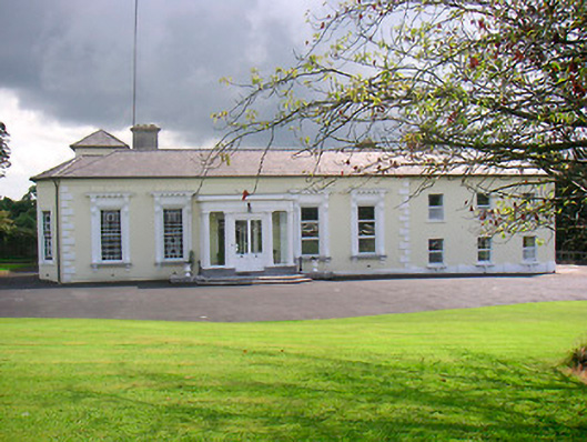 Saint Camillushouse · 406 yd
 Rathwire Moat & CastleCastle, motte and bailey · 436 yd
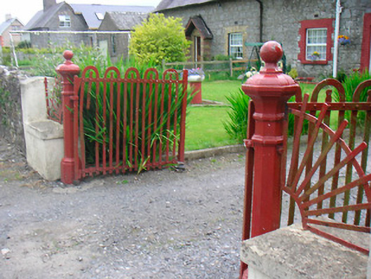 gates/railings/wallsgates/railings/walls · 437 yd
 CrossCross, Wayside cross · 673 yd
 TobermíonadHoly well · 840 yd
 CastleCastle, unclassified · 1376 yd
 GinkgoGinkgo · 4.4 mi
 ScregganWood · 5.6 mi
 Croppies' GraveMemorial · 7.9 mi
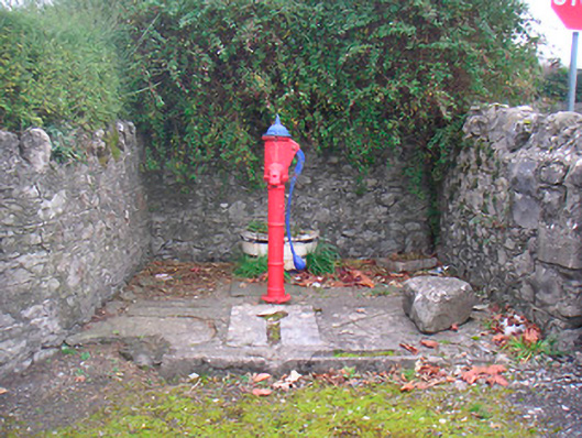 water pumpwater pump · 516 yd
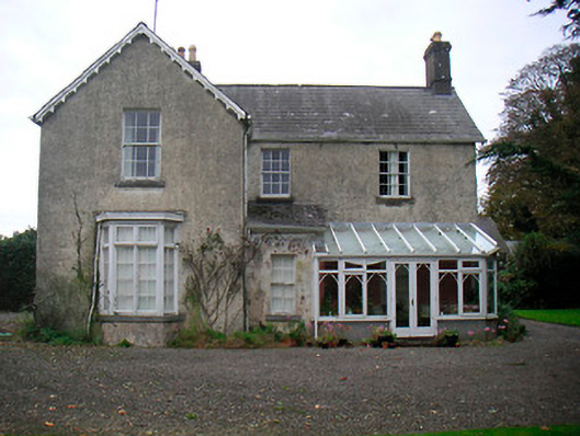 The Mansemanse · 674 yd
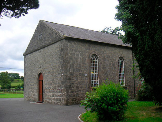 Killucan Presbyterian Churchchurch/chapel · 708 yd