What is recorded here
At the W edge of a low E-W ridge with views to the N, E and S. This monument was investigated by O Floinn and Cherry in 1989 on behalf of the National Museum of Ireland. Trapezoidal-shaped short cist (dims. 0.94m N-S; 0.65m E-W; D 0.45m) defined principally by four flat edge set-stones. In addition two large slabs were placed across the short ends overlapping the end stones and it was upon these that the capstone was placed. The floor was paved with a single large slab and a number of smaller ones. The large capstone (dims. 1.7m x 1.1m; T .025m) lay just 0.15m beneath ground level. The large pit (dims. c.2.3m x 1.5m) dug to house the cist was oval in shape. The cist contained the crouched inhumation of an adult (1989:46) whose body had been laid on its left side with the head facing E. In the NE corner was a complete bipartite bowl (1989:45). A sample of bone from this cist yielded a date of 2205-1776 BC. This monument was located c.3m SW of a second cist (DG079-043001-) which had been excavated in 1984 (Cahill and Sikora 2011, Vol. 1, 153-158).
Compiled by: Patrick F. O'Donovan
Date of upload: 26 February 2013
Trapezoidal-shaped short cist, likely dating to the Early Christian or Iron Age period. Its location and form suggest it may be associated with early burial practices in the region, though its wider significance remains unclear due to limited contextual information.
The monument record does not grant public access. Check the route and ask the landowner before entering private land.
- What survives
- Recorded monument
Places near here
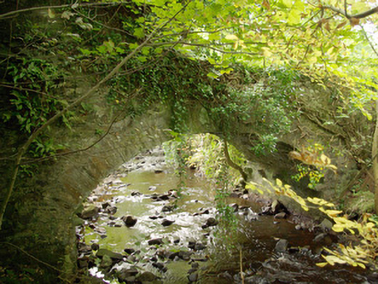 bridgebridge · 1.3 mi
 Liscooly Bridgebridge · 1.5 mi
 Enclosure in TiriniskEnclosure · 1.5 mi
 Holy WellHoly well · 1.5 mi
 CastleCastle, unclassified · 1.8 mi
 OutlinedBawn · 2.1 mi
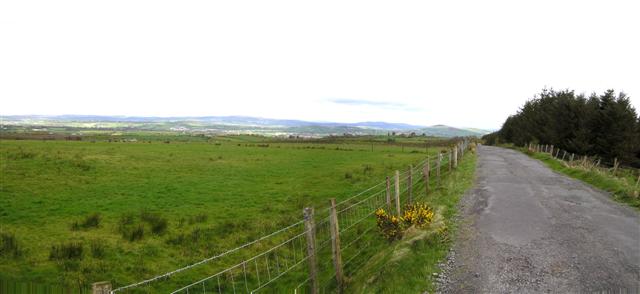 Fearn HillMountain / peak · 3.2 mi
 BATTLE SITE: in 789 AD & BATTLE OF THE FORDS , Southern crossing, 1689 in Clady; DonnygowanBATTLE SITE: in 789 AD & BATTLE OF THE FORDS , Southern crossing, 1689 · 3.2 mi
 Carnowen HillMountain / peak · 3.3 mi
 Dreenan WoodWood · 5.2 mi
 Feddyglass WoodWood · 7.9 mi
 Drumskinny Stone CircleHeritage attraction · 14 mi