What is recorded here
Hempstown Commons in County Kildare holds a small oval cist where a man aged thirty to forty slept crouched beneath two roof slabs. A bulldozer broke the quiet in 1949 while stripping topsoil for gravel, exposing his flag-paved chamber and the painted underside of one slab. He had been placed there deliberately, perhaps by people who believed the drumlin could hold what love and memory needed preserved.
In 1949, an irregularly oval-shaped cist (dims. L 1m NE-SW; Wth 0.8m) was accidently uncovered during the bulldozing of topsoil from the highest point of a low drumlin to expose gravel deposits. The cist lay 0.7-0.8m below the ground surface and was formed by a drystone wall two courses in height (H 0.4-0.5m), a floor paved with thin flags bedded in a thin film of clay resting on the gravel, and was roofed by two slabs, one of which was decorated on its underside (KD020-015002-). It contained the crouched inhumation of a male about 5' 6" in height and aged 30 to 40 years. (Hartnett 1950, 193-8; Waddell 1970, 120) A second cist (KD020-016----) lies c. 300m to the WSW.
Compiled by: Gearóid Conroy
Date of upload: 10 June 2011
A small Neolithic or Early Bronze Age cist tomb, likely used for single inhumation burial. Its discovery provides insight into early funerary practices in the region, though its wider significance is limited by lack of precise location and detailed excavation records.
The monument record does not grant public access. Check the route and ask the landowner before entering private land.
- What survives
- Recorded monument
Places near here
 Enclosure in TinodeEnclosure · 935 yd
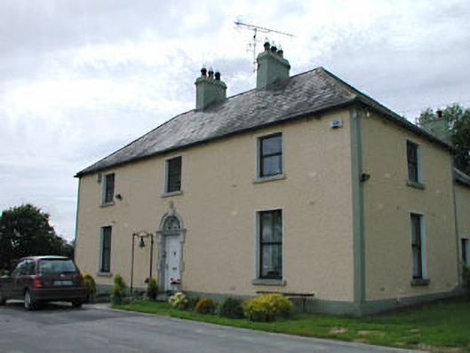 Catholic Church of Our Lady of Mercypresbytery/parochial/curate's house · 1515 yd
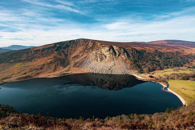 IndicatedFairy fort / earthen ringfort · 1.1 mi
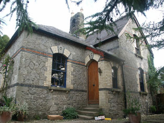 Tinode Houseworker's house · 1.2 mi
 CastleCastle, tower house · 1.6 mi
 Cupidstown HillMountain / peak · 1.7 mi
 Rock WoodForest · 1.9 mi
 Site of CastleCastle, unclassified · 2.2 mi
 OldcourtMemorial · 2.3 mi
 Blessington DemesneWood · 2.4 mi
 The Square RenewalMemorial · 2.4 mi
 Saggart HillMountain / peak · 3.3 mi