What is recorded here
Situated on a W-facing slope. A rectangular cist (int. dims 0.73m NE-SW; 0.61m NW-SE; D 0.4m) was apparently empty when it was discovered in 1961 and investigated by NMI (Waddell 1990, 155). It was composed of six slabs (T 0.12-0.28), there being two on the long sides, and there were two capstones that were removed in ploughing. (Ó Ríordáin 2011)
The above description is derived from the published 'Archaeological Inventory of County Wexford' (Dublin: Stationery Office, 1996). In certain instances the entries have been revised and updated in the light of recent research.
Compiled by: Michael Moore
Date of upload/revision: 24 March, 2014
A rectangular stone cist, likely dating to the Early Christian or earlier period. Its presence indicates prehistoric or early medieval funerary activity in the area, though no artifacts or human remains were recorded.
The monument record does not grant public access. Check the route and ask the landowner before entering private land.
- What survives
- Recorded monument
Places near here
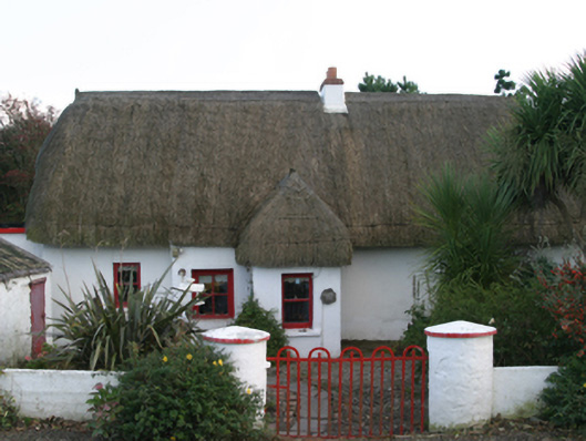 Ceann Tuífarm house · 182 yd
 Ladys WellHoly well · 238 yd
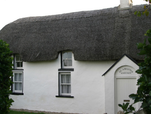 Saint Awaries Cottagefarm house · 311 yd
 IndicatedCauseway · 431 yd
 Lady's IslandVisitor information · 464 yd
 TowerBawn · 482 yd
 ScargeenIsland · 864 yd
 Site of CastleCastle, unclassified · 1417 yd
 InishIsland · 1511 yd
 Shernock Hill/Knocks HillMountain / peak · 1.1 mi
 Carne BeachBeach / strand · 1.2 mi
 Lifeboat MemorialMemorial · 1.4 mi