What is recorded here
No fact is missing because the request is to exclude the visible group of six, not to hide a new claim about C1. Rule of three is different from a claim that there are exactly three groups in the world.
In pasture, to N of Castlemartyr to Killeagh road. Low, oval mound (6m N-S; 4m E-W; max. H 0.5m); stones partially exposed in SE quadrant, appear to form three sides of square (1.2m x 1.2m). According to Fitzgerald (1858, 12), farmer, while levelling mound, discovered cist (CO077-008002-) with larger cover stone containing two human skeletons. One of three tumuli in same townland; other two (CO077-00901-; CO077-010---) c. 400m to NE.
The above description is derived from the published 'Archaeological Inventory of County Cork. Volume 2: East and South Cork' (Dublin: Stationery Office, 1994). In certain instances the entries have been revised and updated in the light of recent research.
Date of upload/revision: 14 January 2009
Cist burial, likely dating to the Early Christian or Bronze Age period. Its significance lies in its simple construction and potential association with early funerary practices in the region.
The monument record does not grant public access. Check the route and ask the landowner before entering private land.
- What survives
- Recorded monument
Places near here
 Cromlech (Site of)Barrow, mound barrow · 346 yd
 BarrowBarrow, mound barrow · 524 yd
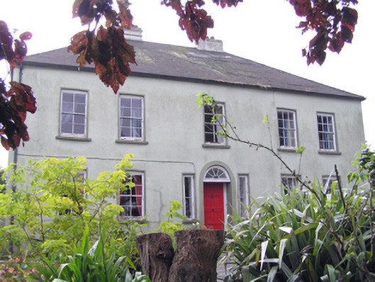 Knockane Househouse · 920 yd
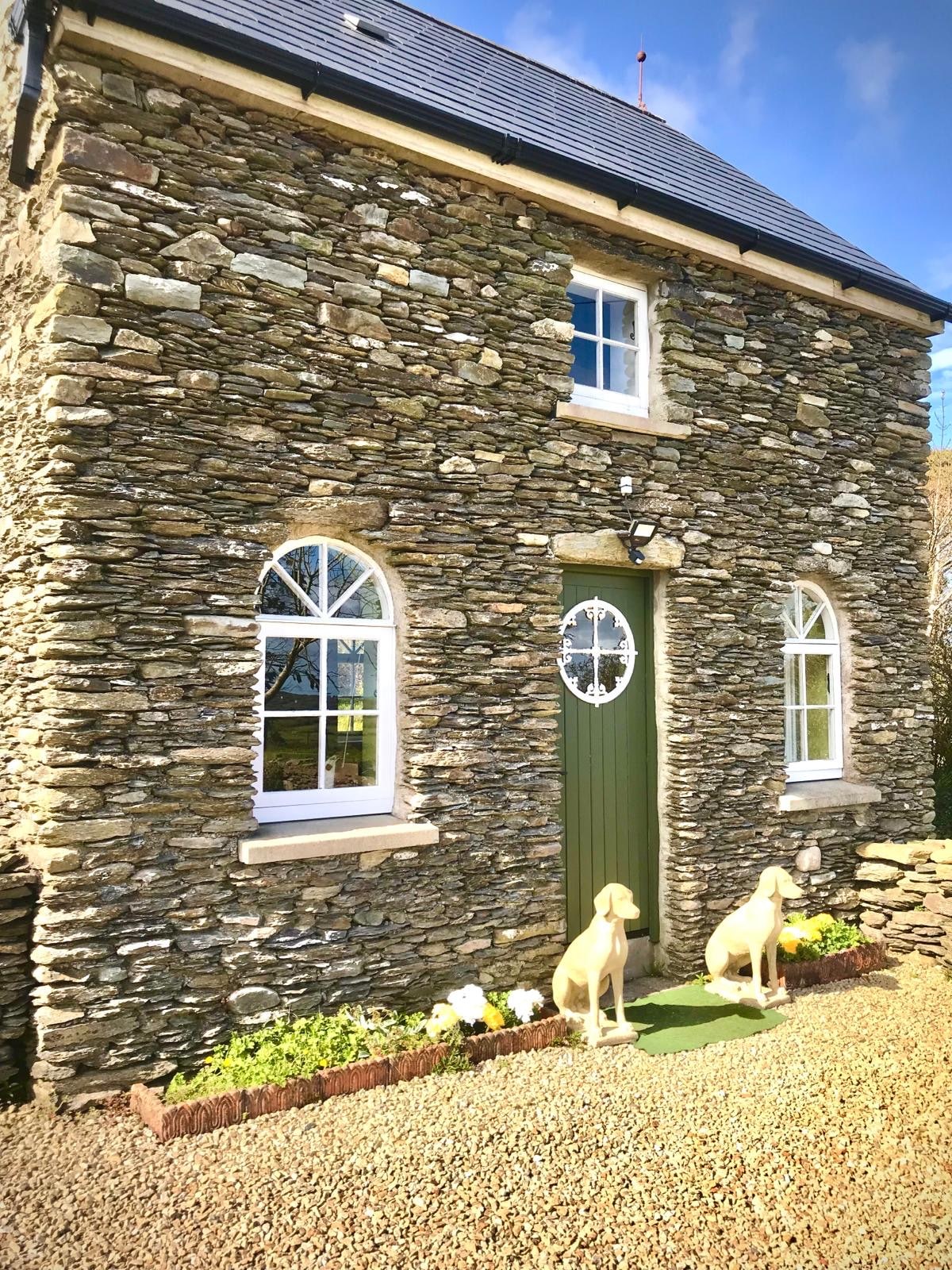 Ballindinis HouseCountry house · 1033 yd
 William Heffernan MemorialMemorial · 1453 yd
 Castlemartyr CastleCastle · 1.2 mi
 Mitchell's WoodWood · 1.2 mi
 Pigeon WoodWood · 1.4 mi
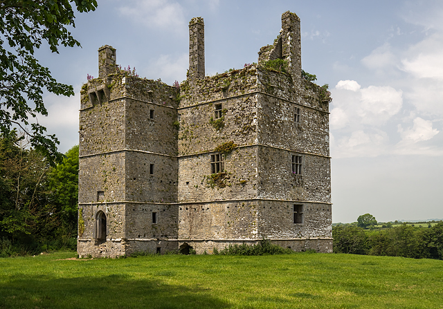 Ightermurragh Castle (in Ruins)House, fortified house · 1.4 mi
 N25 Picnic SitePicnic place · 2.2 mi
 Historical Graveyard InformationVisitor information · 2.3 mi
 Fainin's WellSpring · 2.7 mi