What is recorded here
Five cists emerged in 1971 when bulldozers bit into a possible cairn at the north end of a ridge. This smallest chamber measured barely ninety centimetres long, built from four thin slabs with a paved floor. It held cremated bones of an adult and a juvenile inside a bipartite vase, dating the burial to between 2278 and 1955 cal. BC. The wide countryside still stretches beneath the ridge, unchanged since those first flames.
At the N end of a N-S ridge with wide views of the surrounding countryside. One of five cists (KK005-003003-, KK005-003004-, KK005-003005-, KK005-003006-) discovered in 1971 during bulldozing at a possible cairn (KK005-003001-) in an area of quarrying. This cist (int. dims. L 0.87m; Wth 0.5m; D 0.6m) was rectangular in plan with its long axis aligned almost N-S. It was constructed of four thin slabs, one forming each wall. The floor of the cist was paved with a number of slabs and was originally covered by a capstone or capstones. The cremated bones of one adult and one juvenile were found in one of two bipartite vases found. A miniature vase was also found. The remains have been dated to 2278-1955 cal. BC. (Cahill and Sikora 2011, vol. 1, 235-43)
Compiled by: Mary Tunney
Date of upload: 28 January 2013
A Neolithic cist tomb, likely dating to the 4th–3rd millennium BCE. Its discovery with others nearby suggests a significant burial or ritual landscape, though specific wider significance remains unrecorded.
The monument record does not grant public access. Check the route and ask the landowner before entering private land.
- What survives
- Recorded monument
Places near here
 IndicatedFairy fort / earthen ringfort · 849 yd
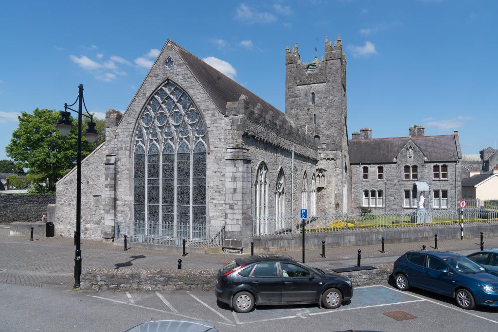 Abbey (in ruins)Religious house, unclassified · 1.3 mi
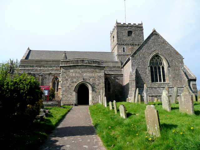 St. Chaddens Church (in ruins)Church · 1.4 mi
 (Site of) CastleCastle, unclassified · 1.5 mi
 Enclosure in Ironmills OR KilrushEnclosure · 1.6 mi
 Graveyard in SraleaghGraveyard · 2.5 mi
 1798 MonumentMemorial · 2.6 mi
 Common LimeCommon Lime · 2.9 mi
 Moat Castle (site of)Archaeological place · 3.0 mi
 Anker's IslandIsland · 3.0 mi
 Donaghmore WellSpring · 3.9 mi
 Ardra LoopWalking route · 4.2 mi