What is recorded here
Situated at the E edge of a shelf overlooking a N-S valley (Wth of top c. 250m) with its stream c. 30m to the E. A polygonal cist (int. dims. 1.05m N-S; 0.95m E-W) defined by 6 or 7 side-stones (dims. c. 0.45-0.6m; H 0.4m; T 0.1-0.2m) is covered by a single roofstone (max. dims. 3.2m NW-SE; 1.3m NE-SW; T 0.1-0.25m) which has graffiti incised on it dating from 1932. It is within the mound of an amorphous grass and scrub-covered barrow (diam. 23m N-S; 23m E-W; H 0.5-1m).
Compiled by: Michael Moore
Date of upload: 13 September, 2012
A Neolithic cist tomb, dating to the 4th–3rd millennium BCE, likely used for single inhumation burial; its location suggests a deliberate choice for visibility and landscape integration, typical of early funerary practices in Ireland.
The monument record does not grant public access. Check the route and ask the landowner before entering private land.
- What survives
- Recorded monument
Places near here
 site of Chapel and Burial Gd.Church · 462 yd
 site of CastleCastle, unclassified · 665 yd
 kilnkiln · 975 yd
 Lady Well (Site of)Holy well · 1011 yd
 Castle (in ruins)Castle, tower house · 1342 yd
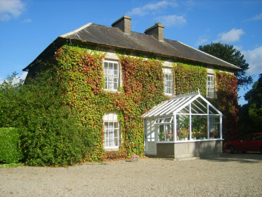 Hillview Housefarm house · 1644 yd
 SlievecoiltiaMountain / peak · 1.1 mi
 The Croppy GroveMemorial · 1.4 mi
 Garden of RemembranceMemorial · 1.4 mi
 Devon whitebeamDevon whitebeam · 1.7 mi
 Ash CollectionVisitor information · 1.8 mi
 John F. Kennedy Arboretum MuseumMuseum · 1.9 mi