What is recorded here
The precise location of a cist located on the W boundary of a bog known locally as Mona Gap, in the townland of Ballydaheen has not been identified. Cist described by J. F. Lynch (1913, 20) as follows: ‘The deep swamp east of Mr Leahy’s house is called Mona Gap.Two little black pillar stones [LI032-165002-/165003-] stand a little apart on its western border, and divide two baronies, two parishes, and two townlands. Immediately in a line with these, towards the south, the late Mr Joseph Carroll discovered a stone coffin [LI032-165001-], but covered it up without examination’.
Compiled by: Alison McQueen and Vera Rahilly
Date of upload: 10 November 2020
The monument record does not grant public access. Check the route and ask the landowner before entering private land.
- What survives
- Recorded monument
Places near here
 Settlement cluster in BruffSettlement cluster · 804 yd
 Enclosure in GrillaghEnclosure · 905 yd
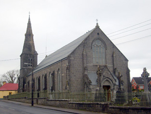 Catholic Church of Saint Peter and Saint Paulchurch/chapel · 1464 yd
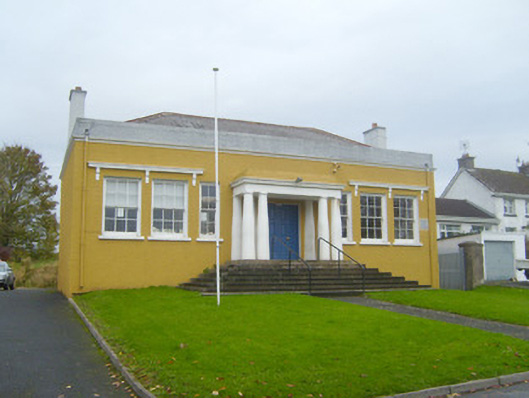 Bruff Courthousecourt house · 1511 yd
 Kilballyowen HouseCastle, unclassified · 1.1 mi
 Castle (in ruins)Castle, unclassified · 1.1 mi
 Glen BogForest · 1.2 mi
 KnockainyMountain / peak · 2.3 mi
 Flat cemetery in Knockainy WestFlat cemetery · 3.3 mi
 St Patrick's WellSpring · 6.5 mi
 Edmund's WellSpring · 7.2 mi
 Ballinvreena LoopVisitor information · 7.6 mi