What is recorded here
Some 18m to the S of a cashel (GA104-260----). Classified by McCaffrey (1952, 248, no. 16) as a ‘hut circle (?)’ but marked on the 1933 edition of the OS 6-inch map as ‘Cist Grave’. The remains comprise a circular area (diam. 4.5m int.) defined by an earthen bank with traces of an internal revetment. There is a gap at N. Possibly a hut site.
Compiled by: Galway Archaeological Survey, UCG
Date of upload: 31 July 2019
The monument record does not grant public access. Check the route and ask the landowner before entering private land.
- What survives
- Recorded monument
Places near here
 Fairy fort / stone ringfort in Roo (dunkellin By.)Fairy fort / stone ringfort · 33 yd
 LissataggartFairy fort / earthen ringfort · 719 yd
 CarnanthomasCastle, unclassified · 739 yd
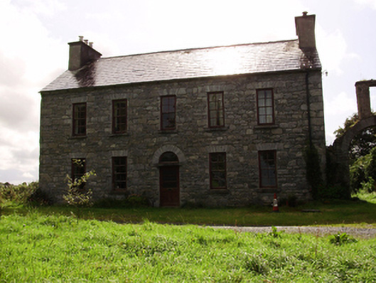 Kilquain Househouse · 800 yd
 Roo Castle (in ruins)Castle, tower house · 961 yd
 Ballymanagh Ho.House, 18th/19th century · 1484 yd
 Moyard WoodWood · 3.6 mi
 Kilcornan ForestWood · 5.8 mi
 Drumharsna CastleHeritage attraction · 6.8 mi
 MweenisharanIslet · 9.0 mi
 Enclosure in ColesgroveEnclosure · 849 yd
 LisdooFairy fort / stone ringfort · 1109 yd