What is recorded here
Named 'Burial Ground (Disused)' on 1905 OS 6-inch map. In SE quadrant of early ecclesiastical enclosure (13874). Roughly quadrant-shaped area (22m N-S; 33m E-W) enclosed by arc of enclosure E->S and by two-stone built banks (H 0.6m int.; 0.4m ext.) at right angles to each other. Many low uninscribed grave markers noted, all aligned E-W.
The above description is derived from the published 'Archaeological Inventory of County Cork. Volume 4: North Cork' (Dublin: Stationery Office, 2000). In certain instances the entries have been revised and updated in the light of recent research.
Date of upload/revision: 14 January 2009
Early Christian cemetery, likely 6th–10th century AD. Associated with an early ecclesiastical site, indicating its significance as a religious and burial centre in the medieval period.
The monument record does not grant public access. Check the route and ask the landowner before entering private land.
- What survives
- Recorded monument
Places near here
 KilmoreEcclesiastical enclosure · 39 yd
 Castle (in Ruins)Castle, Anglo-Norman masonry castle · 682 yd
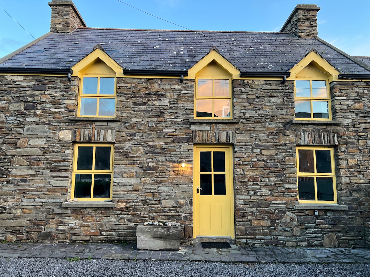 Enclosure in Ballynamuddagh (fermoy By.)Enclosure · 928 yd
 mill (water)mill (water) · 1650 yd
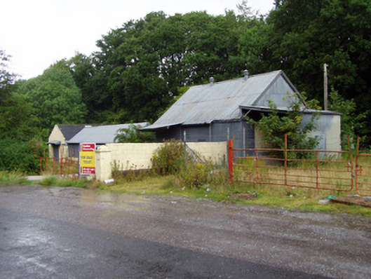 creamerycreamery · 1.0 mi
 Johnson's WoodForest · 1.3 mi
 Ballyhooly CastleCastle · 1.4 mi
 Priest's WoodForest · 1.7 mi
 Cappagh XViewpoint · 1.7 mi
 Liam BurkeMemorial · 1.8 mi
 Blackwater (Avondhu) WayWalking route · 2.1 mi
 Knocknaskagh North TopMountain / peak · 2.9 mi