What is recorded here
A quadrangular enclosure named 'Churchtown Graveyard' on the OSi 1st. edition 6-inch map (map dims. c. 50m E–W; c. 30m N–S). Disused by 1908. The enclosure is defined by an earth and stone bank (Wth 2m; int. H 0.5m) and an external fosse (Wth 3m; max. D 0.8m) on the S and SE. Poorly preserved foundations of W end of church (WI007-035001-) survive just off centre. Some eighteenth-century headstones occur in the area to the S and E of the church. (SMR file)
Compiled by: Claire Breen
Date of upload: 31 January 2013
The monument record does not grant public access. Check the route and ask the landowner before entering private land.
- What survives
- Recorded monument
Places near here
 Churches (in Ruins)Church · 13 yd
 Giant SequoiaGiant Sequoia · 387 yd
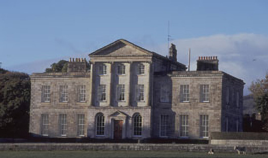 Charleville Housecountry house · 611 yd
 Enclosure in Charleville DemesneEnclosure · 668 yd
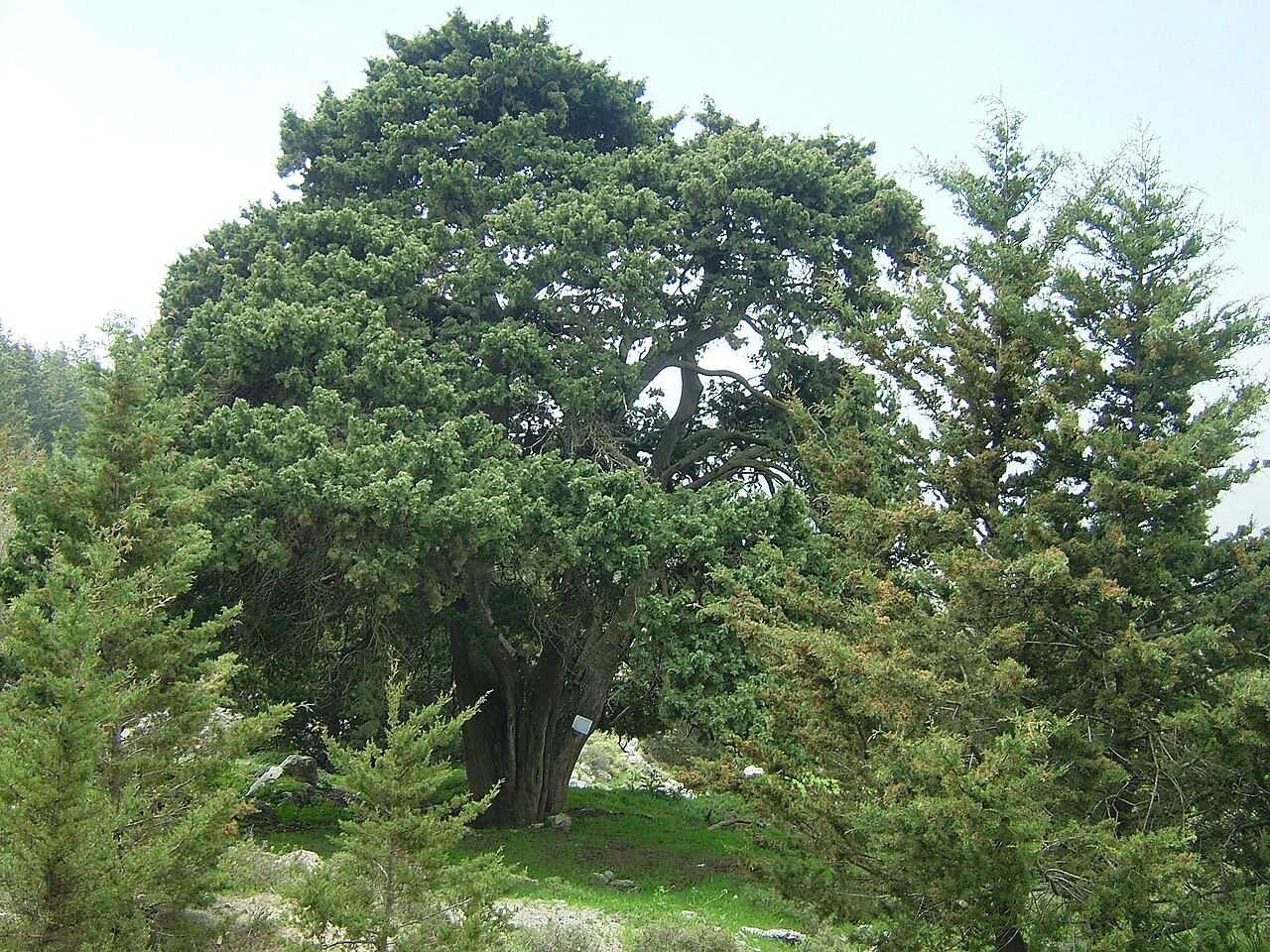 Mediterranean CypressMediterranean Cypress · 766 yd
 Powerscourt EstateHeritage attraction · 915 yd
 IndicatedCastle, motte · 1555 yd
 Enclosure in AnnacriveyEnclosure · 1.0 mi
 Lover's LeapNamed rock · 1.6 mi
 MaulinMountain / peak · 2.3 mi
 The Sugar Loaf WayWalking route · 2.3 mi
 Great Sugar LoafMountain · 2.3 mi