What is recorded here
Situated on level ground. Motte (WM006-015----) 80m to NW. Rectangular church (WM006-062----) depicted on the 1837 ed. OS 6-inch map as standing in the centre of a D-shaped graveyard defined by an earthen bank. In 1837 the Ordnance Survey Name Book for Russagh parish recorded that 'only a small portion of one of the side walls of the old parochial church remains, and the graveyard presents nothing of interest but its situation within an earthen rath’ (SMR File). The earthen boundary was replaced by a stone wall between 1837 and 1911 when the revised ed. OS 6-inch map depicts the graveyard as a sub-rectangular shaped area now enclosed by a stone wall. Today the rectangular-shaped graveyard (approx. dims. 46m N-S; 51m E-W) is enclosed by a wall of post 1837 date and appears to have been extended to the S. The graveyard contains memorials dating from the 19th century onwards. Some cut stone from the medieval church has been reused to mark burials in the graveyard.
Compiled by: Frank Coyne & Caimin O'Brien
Date of upload: 2 February 2017
The monument record does not grant public access. Check the route and ask the landowner before entering private land.
- What survives
- Recorded monument
Places near here
 Ecclesiastical enclosure in RussaghEcclesiastical enclosure · 14 yd
 Church (in Ruins)Church · 15 yd
 CastleCastle, motte · 130 yd
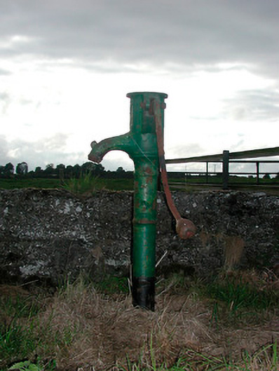 water pumpwater pump · 418 yd
 Partially indicatedFairy fort / earthen ringfort · 690 yd
 MoatCastle, motte and bailey · 1.4 mi
 Silver FirSilver Fir · 1.9 mi
 Sweet ChestnutSweet Chestnut · 2.5 mi
 Edgeworthstown BypassMemorial · 4.7 mi
 Bridge Memorial (Kenna)Memorial · 5.2 mi
 Granard MotteMotte-and-bailey castle remains · 7.8 mi
 1798 Monumentmonument · 7.8 mi