
What is recorded here
Outline of rectangular shaped church (c. 16m x 7m) could be seen in 1977, now barely visible. Elaborate late 17th century gateway with stone heads on corbels (Kearney 1985 a, 5; 1985 b; ITA Survey 1942).
At N end of square shaped graveyard enclosed by an earth and stone bank with 19th-century monumental gateway at S are the grass covered wall footings of a church (8m E-W; 4m N-S). The gateway has a round arch with pediment above carried on 13 corbels with carved faces. A panel depicting scenes of death and resurrection are visible on the centre of the pediment. According to Comerford (1883, 300) church was destroyed in 1546.
The above description is derived from the published 'Archaeological Inventory of County Offaly' (Dublin: Stationery Office, 1997). In certain instances the entries have been revised and updated in the light of recent research.
Date of upload: 23 May 2011
This remains an important historical record, but the official description says the monument is no longer visible or has been destroyed. The monument record does not grant public access. Check the route and ask the landowner before entering private land.
- What survives
- No visible remains or recorded as destroyed
Places near here
 graveyard/cemeterygraveyard/cemetery · 28 yd
 Church in Castlebarnagh BigChurch · 768 yd
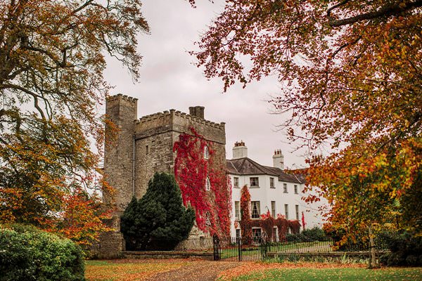 Castle Barnagh (Site of)Bawn · 866 yd
 Site of Leicesters CastleCastle, tower house · 1448 yd
 Enclosure in ToberronanEnclosure · 1516 yd
 Toberronan WellHoly well · 1598 yd
 Croghan Hill WalkVisitor information · 2.2 mi
 Finnrenashark Holy WellSpring · 2.3 mi
 Croghan HillMountain / peak · 2.6 mi
 Mountlucas Wind Farm Visitors CentreVisitor information · 3.5 mi
 Graveyard in BallycommonGraveyard · 3.7 mi
 Victoria PlantationWood · 3.7 mi
Other information
Photo: Credit not shown in the picture search · Rights wording not checked; contact us if this picture should be removed