
What is recorded here
No historical or archaeological evidence of a church in the area marked on the OS 6-inch map. There was a local tradition that a church was located in this area. Described in 1977 as ' this is the site of a church accoording to the landowner. This is a very low rise in a flat area of pasture land, there is no trace of a church or wall footings visible at present' (ASI file 1977).
The above description is derived from the published 'Archaeological Inventory of County Offaly' (Dublin: Stationery Office, 1997). In certain instances the entries have been revised and updated in the light of recent research.
Date of upload: 23 May 2011
This remains an important historical record, but the official description says the monument is no longer visible or has been destroyed. The monument record does not grant public access. Check the route and ask the landowner before entering private land.
- What survives
- No visible remains or recorded as destroyed
Places near here
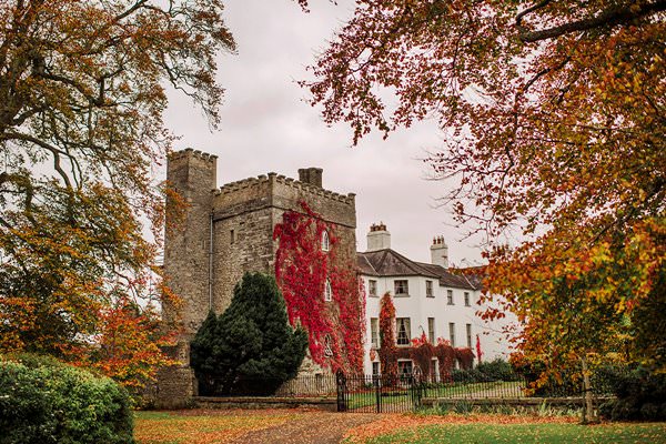 Castle Barnagh (Site of)Bawn · 469 yd
 IndicatedQuarry · 478 yd
 graveyard/cemeterygraveyard/cemetery · 755 yd
 Church (Site of) Grave YardChurch · 768 yd
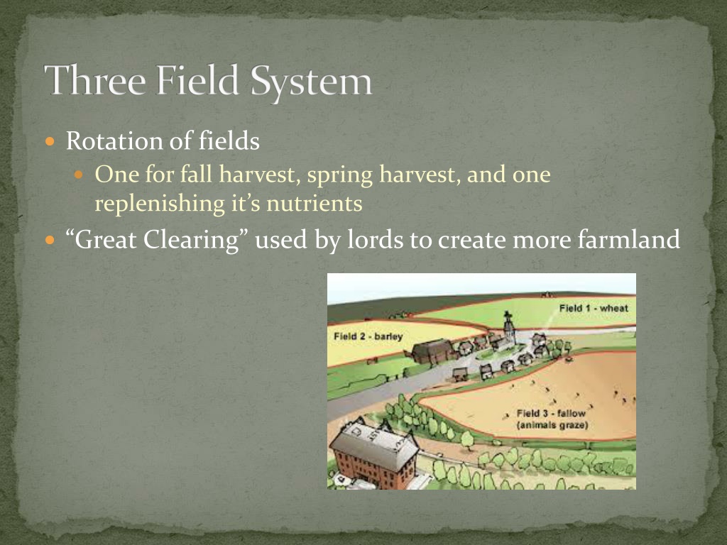 Field system in Gorteen (phillipstown Lower By.)Field system · 1637 yd
 Fort Castle (in Ruins)Bawn · 1.0 mi
 Croghan Hill WalkVisitor information · 2.5 mi
 Finnrenashark Holy WellSpring · 2.5 mi
 Croghan HillMountain / peak · 2.8 mi
 Mountlucas Wind Farm Visitors CentreVisitor information · 3.1 mi
 Victoria PlantationWood · 3.5 mi
 Holy PlantationForest · 3.7 mi
Other information
Photo: Credit not shown in the picture search · Rights wording not checked; contact us if this picture should be removed