What is recorded here
Situated on low rise of ground with good views in all directions with modern graveyard extension immediately to S. Site of building (WM026-035----) in field 220m to W, standing stone (WM026-036----) known locally as the 'Cloghstuckagh' 235m to NW, ringfort (WM026-038----) 185m to N, ringfort (WM026-039----) 130m to NNE and third ringfort (WM026-073----) 280m to SSE. In 1837 Thomas O'Conor of the Ordnance Survey recorded that in Catherinestown 'there are small remains of the walls of an old church in ruins' (OSL 14/G/14/5(11), vol. 2, 47). No church or graveyard is depicted on the 1657 Down Survey parish map of Lynn (NLI, MS 723-4). In 1867 Cogan (1867, 453) wrote that 'the old chapels of Marlonstown, Kenny, Kilronan, and Hopestown were pulled down. They are now graveyards'.
Kilronan Church depicted on 1837 ed. OS 6-inch where it is shown standing in SE quadrant of Kilronan graveyard (WM036-037003-). On this map the S and E walls of the church formed the enclosing element of the graveyard. On the revised 1876 ed. OS 6-inch map the church building is depicted as 'Church Site of'. Church building possibly levelled between 1837 and 1876 editions of the OS maps. Low wall footings enclose a sunken area marks site of levelled church or chapel (approx. dims. 15m E-W x 6m N-S) in SE quadrant of graveyard. Several headstones have been erected on the footprint of the levelled church.
See attached plan of monument surveyed and drawn by the ASI.
Compiled by: Caimin O'Brien
Date of upload: 19 January 2018
The monument record does not grant public access. Check the route and ask the landowner before entering private land.
- What survives
- Recorded monument
Places near here
 Ecclesiastical enclosure in CatherinestownEcclesiastical enclosure · 12 yd
 Partially hachuredFairy fort / earthen ringfort · 360 yd
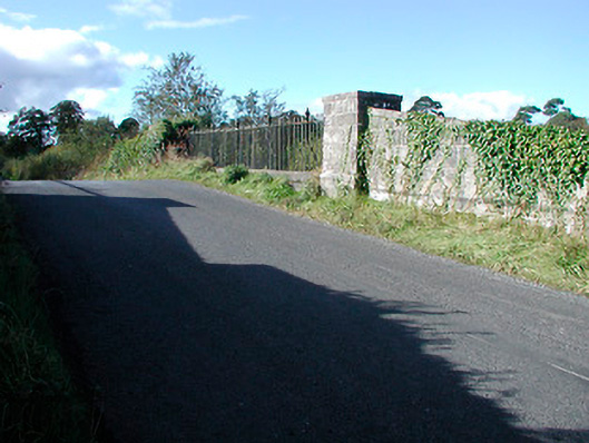 bridgebridge · 1058 yd
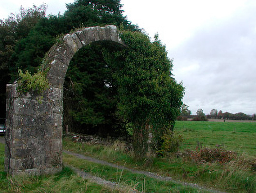 Violetstown Housefarmyard complex · 1220 yd
 CastleCastle, tower house · 1604 yd
 Castle in RuinsCastle, tower house · 1.6 mi
 United Nations War MemorialMemorial · 4.5 mi
 Dysart IslandIsland · 4.7 mi
 Ash IslandIslet · 4.8 mi
 Saint Brigid's WellSpring · 5.3 mi
 Roundhill WoodForest · 11 mi
 Hut site in Corbally (fartullagh By.)Hut site · 709 yd