What is recorded here
Situated on a rise in an undulating landscape. A decayed chapel is listed at Veysingstowne in the Civil Survey (1654-6) (Simington 1940, 126), but a chapel at Vessington in the large parish of Dunboyne does not occur in the ecclesiastical lists. However, it is amongst nine chapels recorded by Cogan (1862-70, vol. 1, 189-90), who says that this church had been destroyed and its graveyard desecrated c. 1830 when cartloads of bones were removed. A ditch had been dug through it and bones were protruding from its sides. It is marked as a subrectangular area (dims c. 45m N-S; c. 15m E-W at N; c. 40m E-W at S) on the 1836 and 1910 eds of the OS 6-inch map and it is described on both as the site of a graveyard. It is recorded locally that bones were uncovered there in the mid-20th century (SMR file, 1968). This may have been a large enclosed monument defined by two concentric earthen banks (ext. diam. c. 120m). A segment survives radiating from the centre to the NE (radius c. 45m) defined by field banks at NW and S and by a scarp (C 55m; H 0.5m) NE-E. About 30m beyond the scarp there is a shallow fosse (Wth c. 3-5m; D 0.2-0.3m) NE-E. There is no evidence of a church or burial.
Compiled by: Michael Moore
Date of upload: 10 April, 2015
The monument record does not grant public access. Check the route and ask the landowner before entering private land.
- What survives
- Recorded monument
Places near here
 Site of Old CastleCastle, unclassified · 564 yd
 Site of Old ChurchChurch · 1.2 mi
 Saint Keiran's Church (Ballymaglassan)church/chapel · 1.2 mi
 Lismahon 1798 MemorialMonument · 1.5 mi
 Font in RathreganFont · 1.8 mi
 CastleCastle, motte · 1.8 mi
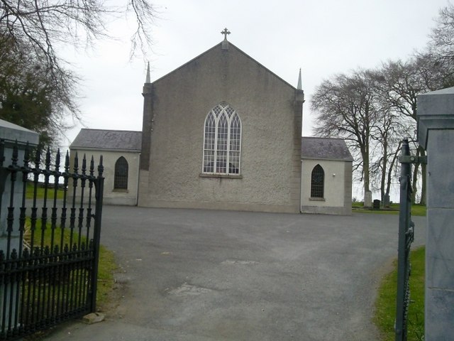 Catholic Church of the Assumptionchurch/chapel · 1.8 mi
 Hanwood GardensHeritage attraction · 2.4 mi
 Saint Oliver Plunkett 1625-1681Memorial · 2.5 mi
 Ash HillMountain / peak · 2.6 mi
 Caulstown Christmas Tree FarmForest · 3.6 mi
 Lebanon CedarLebanon Cedar · 4.0 mi