What is recorded here
A church is indicated on the Down Survey (1655-6) composite map in the townland of Tinnalintan. The church is not indicated on the 1st (1839) ed. OS 6-inch map or the 1899 revision. The precise location of the church within the townland is unknown.
Compiled by: Jean Farrelly
Date of upload: 17 May 2017
The monument record does not grant public access. Check the route and ask the landowner before entering private land.
- What survives
- Recorded monument
Places near here
 Enclosure in TinnalintanEnclosure · 737 yd
 Enclosure in Coole (fassadinin By.)Enclosure · 856 yd
 Kilfinan Church (in ruins)Church · 1005 yd
 CastleCastle, unclassified · 1153 yd
 Moat Castle (site of)Archaeological place · 1162 yd
 Graveyard in SraleaghGraveyard · 1329 yd
 Anker's IslandIsland · 1.0 mi
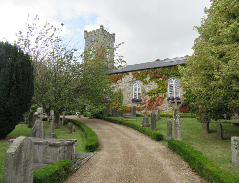 Church in BallyconraChurch · 1.0 mi
 Donaghmore WellSpring · 2.1 mi
 1798 MonumentMemorial · 4.4 mi
 Common LimeCommon Lime · 4.7 mi
 Street fieldArchaeological place · 7.8 mi