
What is recorded here
Situated on a rise on the NE-facing slope of a NW-SE drumlin ridge. The parish church of Lurgan is within a D-shaped graveyard (max. dims c. 52m E-W; c. 50m N-S) defined by masonry walls (at N: Wth 0.45m; int. H 0.6m; ext. H 2.2m) which retain the mound of the graveyard. The graveyard has some trees and headstones dating from 1725 to 1967. During the fifteenth century the tithes of the parish of Lurgan were paid to the St Mary’s Augustinian abbey of Kells (ME017-044039-) (Kelly 2017, 35, 92), and the appointment of the rector or parish priest was disputed in 1527 (ibid. 148). The church was in ruins by the early seventeenth century but an effort was made to raise money for its refurbishment as a place of Protestant worship in 1630s (ibid. 250, 292).
The church is a rectangular structure (total int. dims 19.6m NW-SE; 6.85m NE-SW), of which only the NW, SW and the S part of the SE wall survive to any extent (max. H 1.5m). No architectural features are evident, apart from the remains of a mausoleum (int. dims 6.85m NE-SW; 3.6m NW-SE) incorporated into the NW end of the church. A portion of the NE-SW barrel-vault (H 2.15m plus) survives and it has a destroyed light in the SW wall. One piece of a doorjamb (H 0.52m) with an external chamfer and internal door rebate is used as a grave-marker in the graveyard, and a rectangular mortuary enclosure with no headstones is attached to the NW end of the church and offset to the SW. The church may have continued in use until 1818 when its materials are thought to have been used to build the Church of Ireland church in Virginia (Davies 1948, 112-3).
The above description is derived from the published 'Archaeological Inventory of County Cavan' (Dublin: Stationery Office, 1995). In certain instances the entries have been revised and updated in the light of recent research.
Date of upload: 22 December 2008
Revised by: Michael Moore
Date of revised upload: 18 March 2020
A local church or high cross; wider significance not recorded.
The monument record does not grant public access. Check the route and ask the landowner before entering private land.
- What survives
- Recorded monument
Places near here
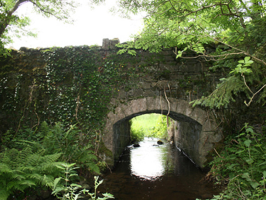 Curraghmore Bridgebridge · 357 yd
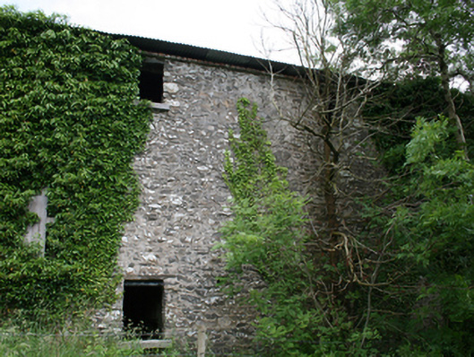 Lurgan Flax Millmill (water) · 357 yd
 Correagh GlebeMountain / peak · 1123 yd
 Aghalion HillMountain / peak · 1.1 mi
 Aghaloughan Pollamalady ForestWood · 1.5 mi
 Lisgrea WoodlandWood · 1.5 mi
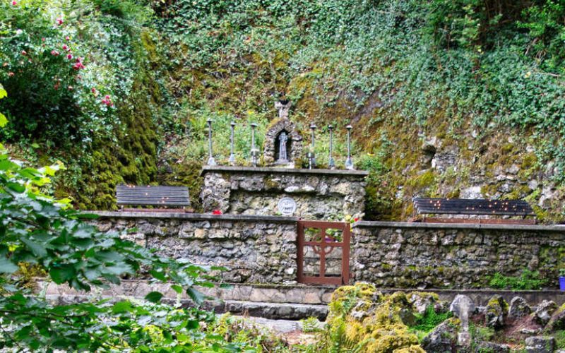 Holy WellHoly well · 1.5 mi
 ToberpatrickHoly well · 1.9 mi
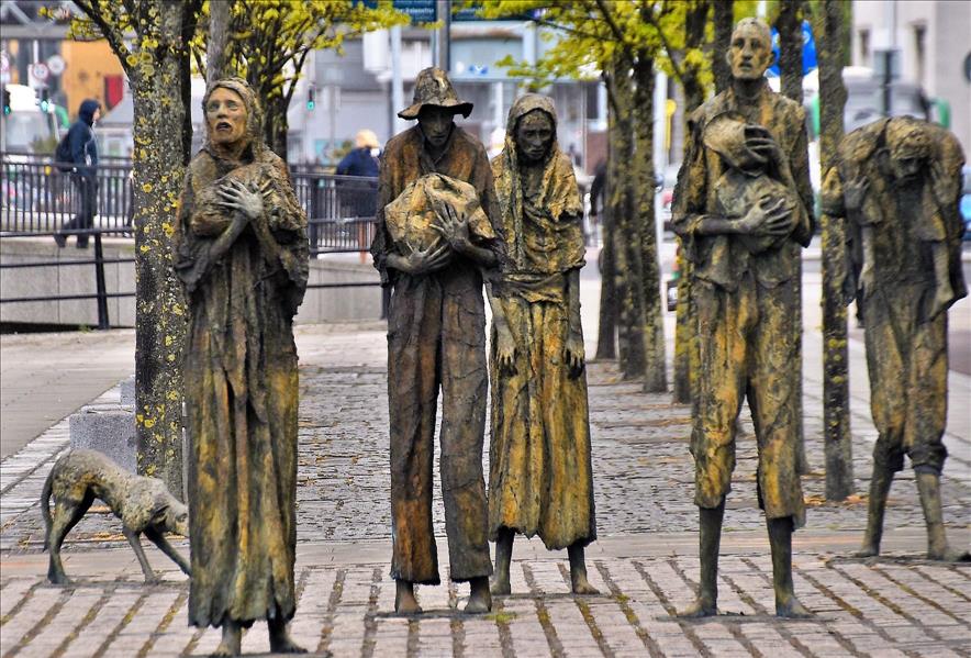 The Great FamineMemorial · 2.0 mi
 Peace BenchMemorial · 2.3 mi
 Fort Frederick IslandsIslet · 2.4 mi
 Sallow IslandIslet · 2.6 mi
Other information
Photo: Credit not shown in the picture search · Rights wording not checked; contact us if this picture should be removed