
What is recorded here
Located on a small triangular W-E promontory (dims c. 90m E-W; c. 70m N-S at W) of rock outcrop with sea-cliffs on the N (H c. 2m) and SE (H c. 5m) sides. This is the parish church of St Helens parish within a subrectangular graveyard occupying the promontory. At the Dissolution in 1538 the church was impropriate to the Augustinian nuns of Grany, Co. Kildare (KD040-015----) (Hore 1920, 76). According to a Visitation by Thomas Ram, the Protestant bishop of Ferns, in 1615 Phillip Rawe was the curate of Killalan, and the church was in repair (Hore 1900-11, vol. 6, 267). The church was not listed by Synnott writing c. 1680 (Hore 1862; 1921).
The church is an undivided rectangular structure (ext. dims 12.3m E-W; 6m N-S; int. dims 10.9m E-W; 3.75m N-S) with walls surviving to a height of 1-2m. The S wall might be rebuilt as it is wholly inside the S end of the E wall by 0.8m. There is a collapsed entrance (Wth 1.45m) in the W wall and a small destroyed window towards the E end of the N wall. The church was described c. 1907 as having had a narrow doorway with a large stone lintel surmounted by a slit window in the W wall (Hore 1949, 44-5), although John O'Donovan writing c. 1840 says the doorway was pointed (O'Flanagan 1933, vol. 1, 270-1). In 1907 there were two lights in the S wall, and outside the doorway was a granite stone 'seven feet by two and a half feet by 10 inches thick' (c. 2.15m x 0.75m; T c. 0.25m) with a small, irregular cross 'three inches long' (dim. c. 8cm) inscribed at its centre that was known as the goose's foot (Hore 1949, 45), which is not evident now. The graveyard (int. dims c. 70m NNE-WSW; 40m NNW-SSE), has a dense cover of sea-grass and some blackthorn. It is bordered by a sunken N-S path (Wth c. 3m; max. D 1m) immediately W of the church, and is defined by a low bank at S (Wth 4m; int. H 0.4m; ext. H 0.8m) and a scarp (H 1.5m) at N, but only one headstone and a grave-marker are visible. St Helen's Well (WX048-036----) is c. 60m to the W.
The above description is derived from the published 'Archaeological Inventory of County Wexford' (Dublin: Stationery Office, 1996). In certain instances the entries have been revised and updated in the light of recent research.
Compiled by: Michael Moore
Date of upload/revision: 8 January 2014
The monument record does not grant public access. Check the route and ask the landowner before entering private land.
- What survives
- Recorded monument
Places near here
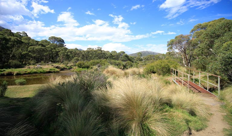 Bullocks TrackRitual site, holy/saint's stone · 36 yd
 bridgebridge · 60 yd
 St. Helens WellHoly well · 78 yd
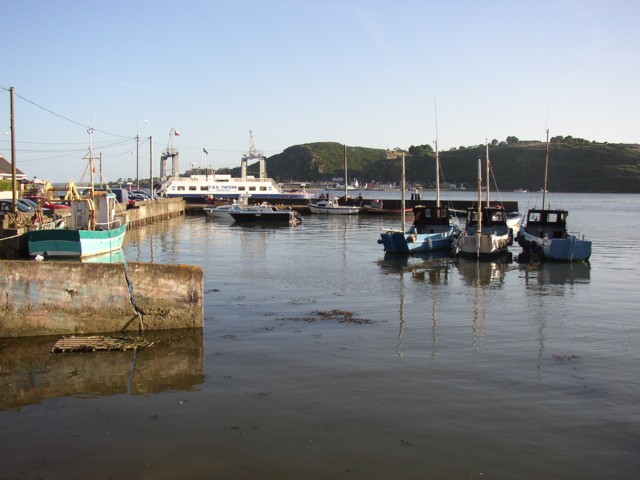 IndicatedBawn · 916 yd
 mill (wind)mill (wind) · 1326 yd
 The Fairy Stone/RockNamed rock · 1327 yd
 Rosslare Harbour Maritime Heritage CentreMuseum · 1.4 mi
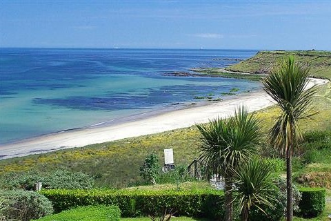 Moran's Bay PostVisitor information · 1.4 mi
 Shernock Hill/Knocks HillMountain / peak · 1.7 mi
 CastleCastle, tower house · 1.7 mi
 Carne BeachBeach / strand · 2.3 mi
 Lifeboat MemorialMemorial · 2.4 mi
Other information
Photo: Credit not shown in the picture search · Rights wording not checked; contact us if this picture should be removed