
What is recorded here
Located towards the bottom of the W-facing slope of an E-W ridge, with a SE-NW stream c. 150m to the SW. The parish church of Kilcormick is within a neglected subcircular graveyard (dims. 61m N–S; 55m E–W) defined by an earthen bank (Wth c. 2m; int. H 0.3m; ext. H 1.2-1.5m).According to a Visitation by Thomas Ram, the Protestant bishop of Ferns, in 1615 the rectorship was vacant, John Lacy was the curate, and the church and chancel were in repair (Hore 1900-11, vol. 6, 272). The foundations of the N and S wails of a building oriented E–W (L c. 20m; Wth c. 6.5m) are visible. The site of St Cormick's Well (WX021-011----), at which patterns were still celebrated on 22nd June in 1840 (O'Flanagan 1933, vol. 2, 94) is c. 500m to the SE.
The above description is derived from the published 'Archaeological Inventory of County Wexford' (Dublin: Stationery Office, 1996). In certain instances the entries have been revised and updated in the light of recent research.
Compiled by: Michael Moore
Date of upload/revision: 15 June, 2012
Amended: 4 Sep. 2013
The monument record does not grant public access. Check the route and ask the landowner before entering private land.
- What survives
- Recorded monument
Places near here
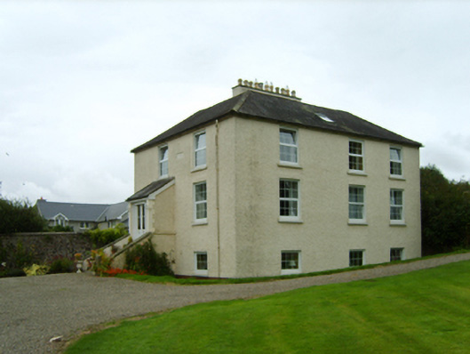 Rockhurstrectory/glebe/vicarage/curate's house · 385 yd
 St Cormicks WellHoly well · 603 yd
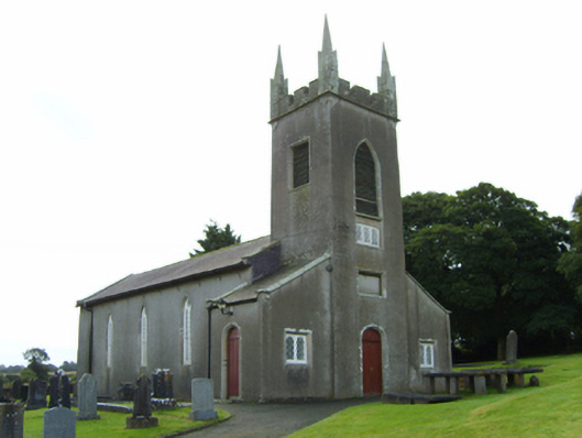 Saint Cormac's Church (Kilcormick)church/chapel · 1005 yd
 Stone CrossCross · 1.2 mi
 IndicatedCastle, ringwork · 1.3 mi
 Oulart HillMountain / peak · 1.4 mi
 Father Murphy CentreHeritage attraction · 1.4 mi
 The HarrowMemorial · 1.5 mi
 Kilthomas HillMemorial · 1.5 mi
 Battle of Oulart Hill signVisitor information · 1.6 mi
 Embanked enclosureCastle, motte · 2.3 mi
 The CoilWood · 3.0 mi
Other information
Photo: Credit not shown in the picture search · Rights wording not checked; contact us if this picture should be removed