What is recorded here
Situated on a knoll in an undulationg landscape with the S-N Killary Water c. 550m to the E. A church at the vill de Stokes is listed in the ecclesiastical taxation (1302-06) of Pope Nicholas IV (Cal. doc. Ire. 5, 261). Ussher (1622) describes the church and chancel at Strokestowne as ruinous (Erlington 1847-64, 1, xciv). The church of Michellstonne is depicted as a roofless ruin on the Down Survey (1656-8) barony map of Slane with a castle adjacent. According to Dopping’s Visitation (1682-5) the parish church Stokestown alias Mitchelstown was dedicated to St. Nicholas, but while the walls of the church were standing the chancel was not and it was not enclosed (Ellison 1973, 6).
The site of the medieval parish church of Mitchelstown parish is within a sub-triangular graveyard (max. dims c. 50m E-W; c. 33m N-S) defined by a stone-clad scarp, with the apex at E that has a public road curving around the perimeter NW-E-SE. The church is visible as the grass covered foundations of nave (int. dims 10.7m plus E-W; c. 4m N-S) and chancel (int. dims 4.8m E-W; E-W; 3.4mm N-S) structure with part of the overgrown SW angle of the nave standing (H c. 2m). The site of Stokestown castle (ME012-008----) is c. 60m to the E. For the Down Survey (1656-8) barony map of Slane see this web page accessed on 22 May 2014 http://downsurvey.tcd.ie/down survey maps.php#bm=Slane&c=Meath
The above description is derived from the published 'Archaeological Inventory of County Meath' (Dublin: Stationery Office, 1987). In certain instances the entries have been revised and updated in the light of recent research.
Compiled by: Michael Moore
Date of revision: 11 December, 2014
A church at Clontail is recorded in the ecclesiastical taxation of 1302–06, indicating a religious presence by the late 13th or early 14th century; its wider significance or builder is not specifically recorded.
The monument record does not grant public access. Check the route and ask the landowner before entering private land.
- What survives
- Recorded monument
Places near here
 Stokestown CastleCastle, unclassified · 94 yd
 IndicatedEnclosure · 1514 yd
 Enclosure in KillaryEnclosure · 1657 yd
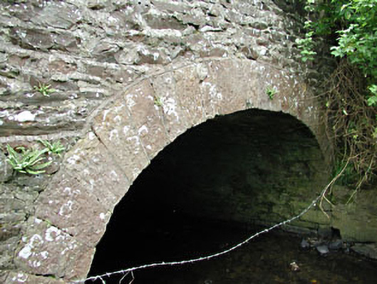 bridgebridge · 1.1 mi
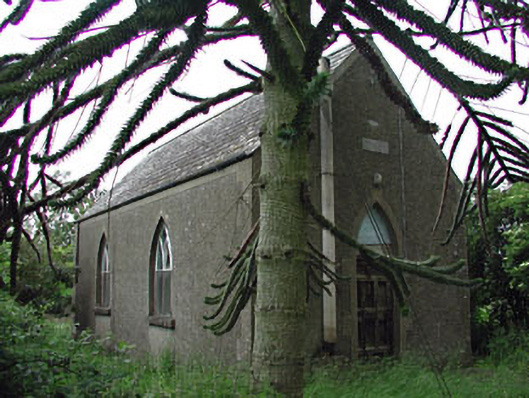 Siddan Hallchurch hall/parish hall · 1.1 mi
 Site of Siddan castleCastle, unclassified · 1.4 mi
 Gun HillMountain / peak · 1.5 mi
 Ugly HillMountain / peak · 1.8 mi
 Headstown ForestForest · 2.3 mi
 European YewEuropean Yew · 2.9 mi
 Nobber GreenwayMemorial · 3.2 mi
 Pat's Art StudioGallery · 8.5 mi