What is recorded here
In the N half of a graveyard (CO143-076001-). A C of I church built in 1825 (Lewis 1837 vol. 2, 488-9); it is now roofless though walls stand to full height; rectangular in plan (long axis NE-SW) with shallow chancel projection to NE, pinnacled tower at W corned and entrance porch at S corner; it was closed in 1927.
The above description is derived from the published 'Archaeological Inventory of County Cork. Volume 1: West Cork' (Dublin: Stationery Office, 1992). In certain instances the entries have been revised and updated in the light of recent research.
Date of upload/revision: 14 January 2009
The monument record does not grant public access. Check the route and ask the landowner before entering private land.
- What survives
- Recorded monument
Places near here
 Rathbarry Churchchurch/chapel · 2 yd
 Grave YardGraveyard · 12 yd
 Rathbarry Church (in Ruins)Church · 21 yd
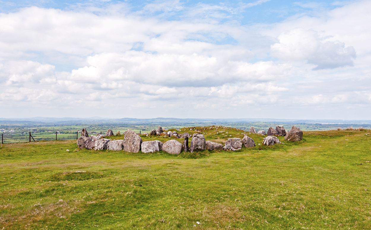 BarrowBarrow, ring-barrow · 183 yd
 Bawn in CastlefrekeBawn · 330 yd
 Castle Freke WoodsForest · 374 yd
 Lord Carbery's Cross TrailWalking route · 602 yd
 Sitka SpruceSitka Spruce · 681 yd
 Galley Head ViewViewpoint · 1069 yd
 Cottage MuseumMuseum · 1116 yd
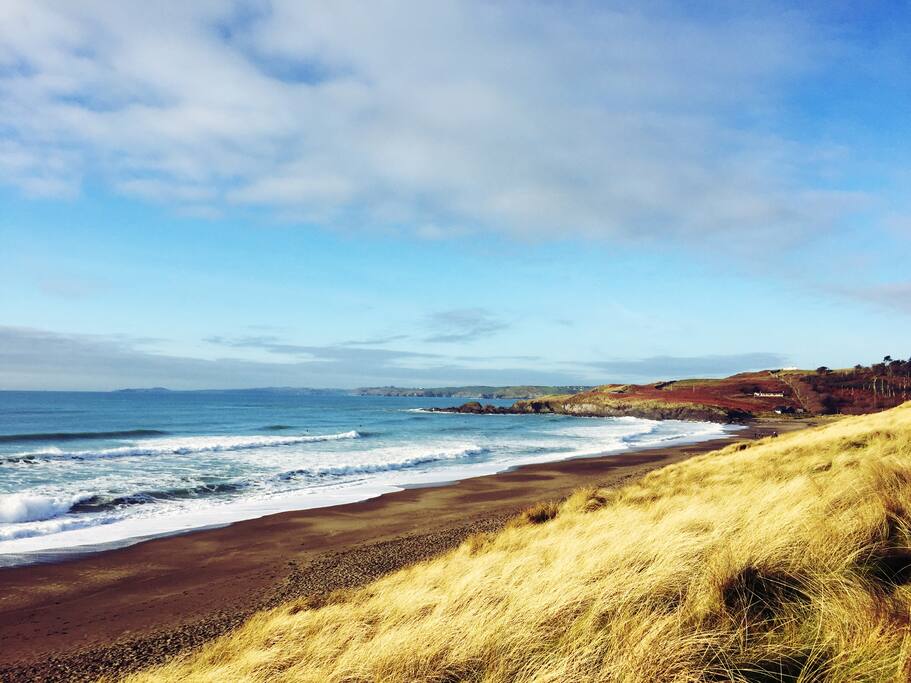 The Long StrandBeach / strand · 1416 yd
 Little Island StrandBeach / strand · 1615 yd