
What is recorded here
There is a tradition of a chapel bank east of the stream (pers. comm. Paddy Boyle).
The Down Survey map and terrier indicate this area was the Glebe land of St Mary's Abbey. Located to the north end of a pasture field east of river with a steep fall to river.
Compiled by: Geraldine Stout
Updated by: Christine Baker
Date of upload: 6 November 2014
A local church or high cross; wider significance not recorded.
The monument record does not grant public access. Check the route and ask the landowner before entering private land.
- What survives
- Recorded monument
Places near here
 Reynoldstown Br.Bridge · 422 yd
 Enclosure in TullogEnclosure · 426 yd
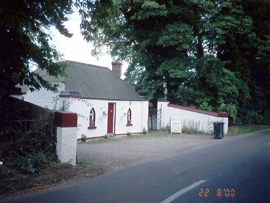 Reynoldstown Housegate lodge · 437 yd
 IndicatedWatercourse · 440 yd
 Bawn in NaulBawn · 1.0 mi
 Seamus Ennis Cultural CentreMemorial · 1.1 mi
 Naul Park HouseCastle, unclassified · 1.2 mi
 Tullog WoodForest · 1.3 mi
 Bun-na-CnoicMemorial · 1.3 mi
 Ballshill PlantingForest · 1.5 mi
 Naul HillMountain / peak · 1.7 mi
 KnockbrackMountain / peak · 1.8 mi
Other information
Photo: Credit not shown in the picture search · Rights wording not checked; contact us if this picture should be removed