
What is recorded here
Rocque's 1760 Map of County Dublin shows ‘Reynoldstown Bridge’ at the same location as the modern road bridge annotated ‘Reynoldstown Br.’ on the last edition of the OSi six-inch map.
Compiled by: Caimin O'Brien
The monument record does not grant public access. Check the route and ask the landowner before entering private land.
- What survives
- Recorded monument
Places near here
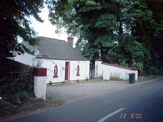 Reynoldstown Housegate lodge · 158 yd
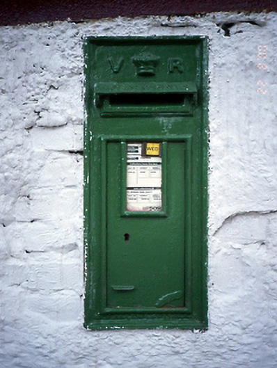 post boxpost box · 167 yd
 IndicatedWatercourse · 835 yd
 Enclosure in TullogEnclosure · 844 yd
 Bawn in NaulBawn · 1.1 mi
 Seamus Ennis Cultural CentreMemorial · 1.1 mi
 Bun-na-CnoicMemorial · 1.2 mi
 Naul Park HouseCastle, unclassified · 1.2 mi
 Tullog WoodForest · 1.5 mi
 KnockbrackMountain / peak · 1.6 mi
 Naul HillMountain / peak · 1.6 mi
 Ballshill PlantingForest · 1.7 mi
Other information
Photo: Credit not shown in the picture search · Rights wording not checked; contact us if this picture should be removed