What is recorded here
Unlocated church site within townland, described by Offaly Historical and Arcaheological Society in 1974 as 'Evidence of church of St. Muinagh near Wallace's House. Not marked on OS 6-inch map. Mr. Wallace says that whole area has been cleared' (OHAS file 1974).
The above description is derived from the published 'Archaeological Inventory of County Offaly' (Dublin: Stationery Office, 1997). In certain instances the entries have been revised and updated in the light of recent research.
Date of upload: 23 May 2011
The monument record does not grant public access. Check the route and ask the landowner before entering private land.
- What survives
- Recorded monument
Places near here
 Ballyduff WoodForest · 674 yd
 IndicatedQuarry · 980 yd
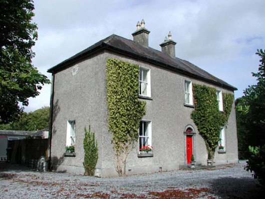 Moor Hillhouse · 1486 yd
 Ritual siteRitual site, holy tree/bush · 1524 yd
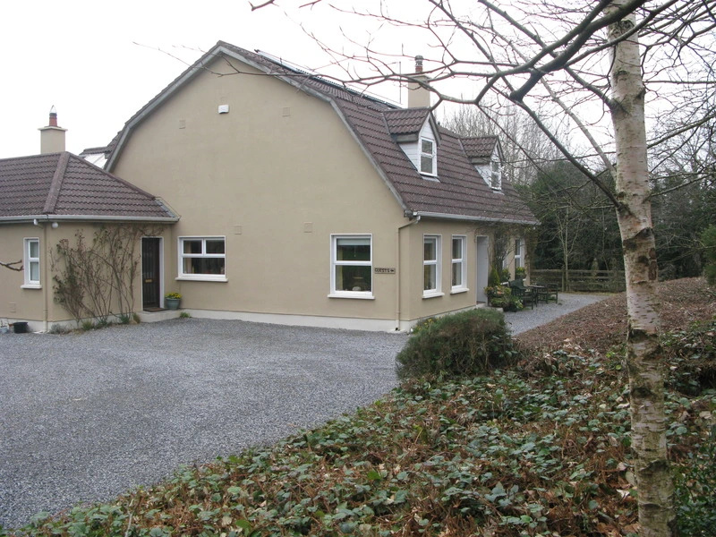 Enclosure in GormaghEnclosure · 1.0 mi
 Bawn in BallydrohidBawn · 1.3 mi
 Srah CastleRuins · 1.3 mi
 Grand Canal WayWalking route · 1.7 mi
 European ashEuropean ash · 1.8 mi
 Christ's WellSpring · 2.1 mi
 St. Columba's WellSpring · 2.3 mi
 Trumpet HillMountain / peak · 3.1 mi