
What is recorded here
It is believed that at a spot called Lough an Airne or Lus Na nAirne (McGill 1976, 26) there was a graveyard (DG064-016001-) almost certainly the site of the original Ceall, (Church) which forms part of the name of Kiltoorish. The site is covered by a dense growth of briars etc. and proved impossible to inspect closely. To the SW is a holy well (DG064-016002-), roughly circular, formed of dry-stone walling (Ó Muirgheasa No. 37). The site is located on a NE facing slope overlooking Kiltoorish Lough in an area of rough pasture.
The above description was derived from the 'Archaeological Survey of County Donegal. A description of the field antiquities of the County from the Mesolithic Period to the 17th century.' Compiled by: Brian Lacey with Eamon Cody, Claire Cotter, Judy Cuppage, Noel Dunne, Vincent Hurley, Celie O'Rahilly, Paul Walsh and Seán Ó Nualláin (Lifford: Donegal County Council, 1983). In certain instances the entries have been revised and updated.
Date of upload: 22 September 2008
A local church or high cross; wider significance not recorded.
The monument record does not grant public access. Check the route and ask the landowner before entering private land.
- What survives
- Recorded monument
Places near here
 Church (in Ruins)Church · 392 yd
 Bawn in KiltoorisBawn · 449 yd
 CastleRuins · 458 yd
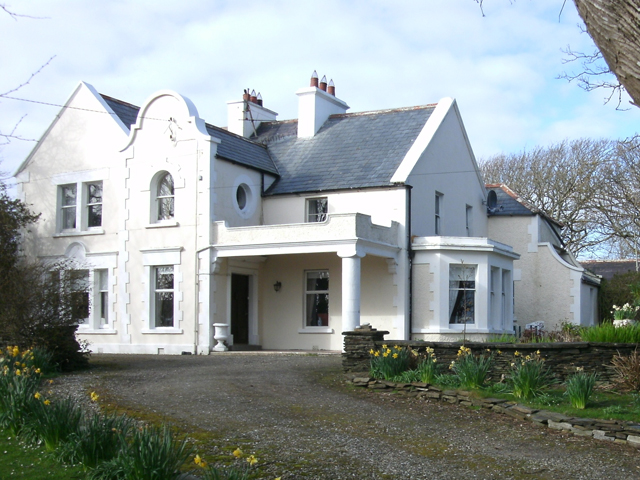 Kiltoorish Hallhouse · 606 yd
 Tramore StrandBeach / strand · 1638 yd
 Carrickalahagh HeadlandPublicly named cliff or headland · 1.4 mi
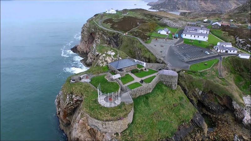 Drumboghill Island Stone FortFairy fort / stone ringfort · 1.4 mi
 Drumboghill Island CashelFairy fort / stone ringfort · 1.6 mi
 Doon FortFairy fort / stone ringfort · 1.7 mi
 Narin–Portnoo StrandOfficial bathing water · 2.6 mi
 InishkeelIslet · 2.7 mi
 Maghera CavesSea caves · 3.7 mi
Other information
Photo: Credit not shown in the picture search · Rights wording not checked; contact us if this picture should be removed