What is recorded here
In pasture, located on a ridge. A commercial quarry lies immediately to W and N.
This church is not shown on any edition of the OS 6-inch maps. The walls are reduced to foundation level and the date of the church is uncertain.
The rectangular outline (c. 10.3m E–W; c. 6m N–S) is defined by low sod-covered wall footings (Wth c. 1.2m; int. H 0.4m; ext. H 0.1m). The interior is slightly sunken. There appears to be a break (Wth c. 2m) towards the W end of the N wall. To W of the break, large blocks of stone, possibly displaced, protrude from the sod at the angle of the W and N walls. A slightly raised berm-like feature, varying in width (Wth 5m at E, 2-4m at S) and height (H 0.9m at E, 0.3m at S), borders the outer face of the walls at E and S. The quarry has encroached to within 15m of the W wall and 2m of N wall of the church.
An ogham stone (MA093-045003-) was found here in the early 1900’s; it is now in the National Museum (DU018-355----). A children’s burial ground (MA093-045002-) is associated with the church.
Compiled by: Jane O’Shaughnessy
Date of upload: 29 June 2022
The monument record does not grant public access. Check the route and ask the landowner before entering private land.
- What survives
- Recorded monument
Places near here
 Enclosure in KilmanninEnclosure · 274 yd
 IndicatedFairy fort / earthen ringfort · 881 yd
 Ballyhaunis Courthousecourt house · 1113 yd
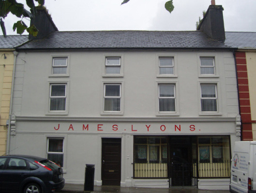 James Lyonshotel · 1129 yd
 CastleCastle, unclassified · 1.9 mi
 Rath Castle in ruinsCastle, tower house · 5.2 mi
 East Mayo Brigade MonumentMemorial · 7.1 mi
 Oak WoodForest · 10 mi
 Land of the GiantsHeritage attraction · 10 mi
 Kiltimagh MuseumMuseum · 11 mi
 I'll Send You The FareMemorial · 11 mi
 Geoffrey's WoodForest · 11 mi