What is recorded here
In a graveyard (MA102-042002-).
This church is not indicated on any edition of the OS 6-inch maps, but the 1838 OS Letters record that the townland name, meaning Church of the Oak tree, was derived from ‘an old church, a small portion of which, it is said, remains in a churchyard.’
In the NW of the graveyard, adjacent to the N enclosing wall, is a low, sod-covered linear bank (L 17m; Wth 1.3m; H 0.4-0.5m) on a roughly E-W axis. Stones protrude randomly from the sod suggesting that it may be the remains of a wall. It might be a remnant of the church; alternatively, it may be the remains of an earlier graveyard wall or some other feature,
Compiled by: Jane O’Shaughnessy
Date of upload: 27 September 2022
The monument record does not grant public access. Check the route and ask the landowner before entering private land.
- What survives
- Recorded monument
Places near here
 St Bridgets WellsHoly well · 169 yd
 CastleCastle, unclassified · 429 yd
 IndicatedFairy fort / earthen ringfort · 1.0 mi
 Saint Mary's Catholic Churchchurch/chapel · 1.5 mi
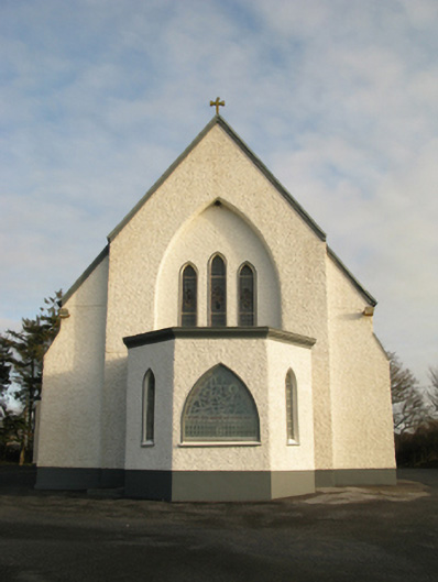 Catholic Church of Saint Theresa of the Little Flowerchurch/chapel · 2.1 mi
 Slieve DartMountain / peak · 5.6 mi
 Castlekeel (in ruins)Castle, unclassified · 6.0 mi
 Oak WoodForest · 6.2 mi
 Geoffrey's WoodForest · 7.1 mi
 Land of the GiantsHeritage attraction · 7.1 mi
 Mass RockNamed rock · 13 mi
 LisgortnalassFairy fort / earthen ringfort · 1.4 mi