What is recorded here
Shown on 1842 OS 6-inch map in demesne of Kilbrack House as D-shaped field (c. 30m NNW-SSE; projecting c. 50m to SW) planted with trees; shown on 1905 OS 6-inch map with field fence removed SE->W; shown on 1937 OS 6-inch map with straight field fence on S side and broken line defining area W->NE. In pasture, on S-facing slope. Field fences removed; E side defined by ha-ha of Kilbrack House; area planted with trees. According to local information, site of 'early church'; mass path led to site from Doneraile.
The above description is derived from the published 'Archaeological Inventory of County Cork. Volume 4: North Cork' (Dublin: Stationery Office, 2000). In certain instances the entries have been revised and updated in the light of recent research.
Date of upload/revision: 14 January 2009
The monument record does not grant public access. Check the route and ask the landowner before entering private land.
- What survives
- Recorded monument
Places near here
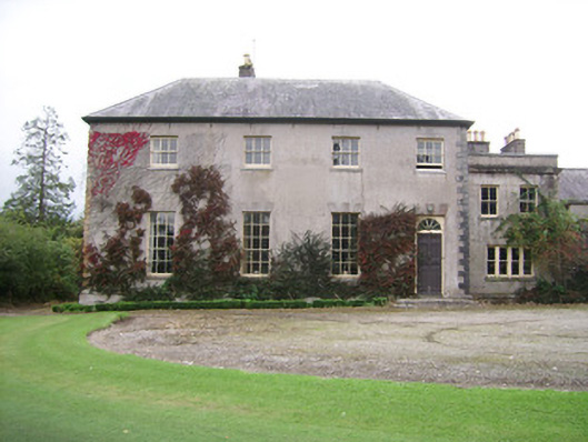 Kilbrack Housecountry house · 149 yd
 Pedunculate OakPedunculate Oak · 387 yd
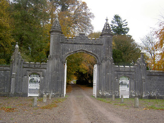 Creagh Castlegates/railings/walls · 389 yd
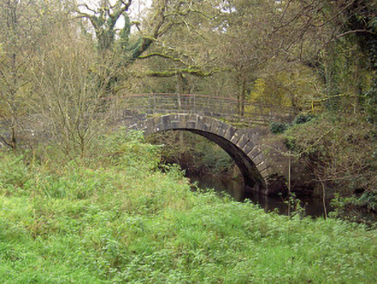 Doneraile Courtfoot bridge · 477 yd
 Fulacht fia in Demesne (fermoy By.)Fulacht fia · 818 yd
 Burnt mound in SkaghardgannonBurnt mound · 1136 yd
 European YewEuropean Yew · 1137 yd
 Doneraile HouseHeritage attraction · 1369 yd
 Doneraile Castle (Site of)Castle, unclassified · 1464 yd
 Smith's WellSpring · 1.3 mi
 Caherduggan Castle (Site of)Castle, unclassified · 3.0 mi
 CarrigeenamronetyMountain / peak · 7.7 mi