What is recorded here
The parish church of Athleague, listed as Athlag in the ecclesiastical taxation of Elphin in 1306 (Cal. doc. Ire., vol. 5, 224), and marked on the Strafford map of c. 1636 at a place called Gorsagar for Gortasaggart - the priest's field (Simington 1949, Athlone (449)). Situated on the W bank of a NE-SW section of the River Suck at the point where the river turns W. The church was described as a chapel of the Lystre family and in poor repair (Lewis 1837, 85). It is depicted at the NE angle of the graveyard on the 1837 ed. of the OS 6-inch map. This was replaced by a new Church of Ireland church, now an anglers' visitor centre, at the SE angle of a subrectangular graveyard (RO041-048015-) (dims 51m N-S; c. 40m E-W) defined by masonry walls. There is no evidence of the older structure. Test trenching (95E0277) around the church failed to reveal any evidence of a medieval structure (Connolly 1996).
Compiled by: Michael Moore
Date of upload: 24 August 2010
The monument record does not grant public access. Check the route and ask the landowner before entering private land.
- What survives
- Recorded monument
Places near here
 church/chapelchurch/chapel · 43 yd
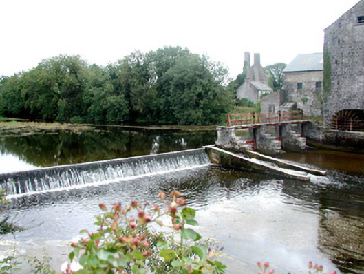 sluice/sluice gatesluice/sluice gate · 74 yd
 CastleHouse, fortified house · 121 yd
 IndicatedFairy fort / earthen ringfort · 1254 yd
 Enclosure in ToberavaddyEnclosure · 1.1 mi
 European Crab AppleEuropean Crab Apple · 1.2 mi
 Sally IslandIslet · 2.6 mi
 Castle KellyCastle, tower house · 3.4 mi
 European YewEuropean Yew · 3.4 mi
 Roscommon CastleCastle · 5.3 mi
 Mount MaryMountain / peak · 5.3 mi
 Inch IslandIsland · 7.8 mi