What is recorded here
Located on the summit of Croagh Patrick, c. 25m east of the 20th-century church.
The wall footings of this small stone-built medieval building, interpreted as a church or oratory were discovered during excavation (94E0115) in 1994 (Walsh 1996; Morahan, 2001, 18-19). It is rectangular (ext. dim. 7.76m E–W; 5.52m N–S) in plan, with carefully constructed drystone walls of flat schist flags. The surviving wall height varies from 1.16m on the inner face of the W wall to only 0.2m on the N wall. The slight outward inclination of the bedding joints of the stonework directed the rain to the outside. The S wall and the SW corner are cut into the natural rock to a depth of 0.7m. This gives it the impression of it being a 'sunken' building. Evidence of corbelling on the S and E walls suggested that the building had a corbelled stone roof. The doorway (W 0.68m) is in the E wall. This position is unusual, as an entrance in the W wall is usual in an Early Medieval church, but the prevailing south-westerly winds on the mountain summit may have determined the choice of an E entrance. A flat threshold flag (1.2m x 0.7m) was flanked by postholes to support posts for a timber door; on the N side were twin rectangular postholes, with a single posthole on the S side. In the interior, a levelling foundation layer of gravel overlay bedrock. Above the gravel was an organic layer (D 0.8m). A spread (D 0.1m) of stone chips intervened between this and an upper peat-rich, organic layer (D 0.8m) which produced three flints, an animal bone, iron fragment, and a possibly worked stone. Overlying this was a dark soil layer incorporating flagstones and stone chippings, possibly the remnants of a floor level. Finds in this layer included three sherds of native medieval pottery (13th to 15th-century), two corroded bronze pins (a third was found outside the building), some fragments of iron, two worked flints and some possibly worked stones. A few intrusive modern finds also occurred. Centrally placed at this level was a spread of charcoal (D 0.34m), divided by a line of flagstones. Sealing this was a layer of large flat stones, probably from the inward collapse of the walls.
Radiocarbon analysis of a charcoal sample produced an Early Medieval date, falling within the range 430-890 AD (Morahan, 2001, 19). The building appears to have been a small corbelled, boat-shaped oratory, similar in design to Gallarus oratory (KE042-071004-) on the Dingle peninsula. Initially it was thought that this building might be the remains of the small church (MA087-044001-), indicated on the 1838 and 1920 OS 6-inch maps, and traditionally known as Temple Patrick. However, the measurements and the location of the entrance do not correspond to those recorded in the 1838 OS Letters for that church (Morahan, 2001, 19). It is likely that successive churches were built and rebuilt on the summit over the centuries. There are references to claims for church taxes from buildings on Croagh Patrick in 824 and 1216 AD; a church at 'Cruachpatric', is, for instance, listed in an epistle of Pope Honorious III in 1216.
Compiled by: Jane O’Shaughnessy
Date of upload: 19 March 2020
A small stone-built medieval church or oratory on the summit of Croagh Patrick, built in the late medieval period, likely between the 12th and 15th centuries; its location suggests a long tradition of religious significance on the site, associated with early Christian pilgrimage.
The monument record does not grant public access. Check the route and ask the landowner before entering private land.
- What survives
- Recorded monument
Places near here
 Enclosure in Teevenacroaghy,glaspatrickEnclosure · 9 yd
 Leaba PatrickMemorial · 16 yd
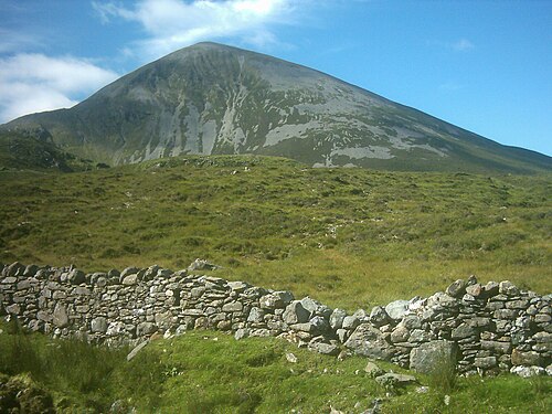 Croagh PatrickMountain / peak · 24 yd
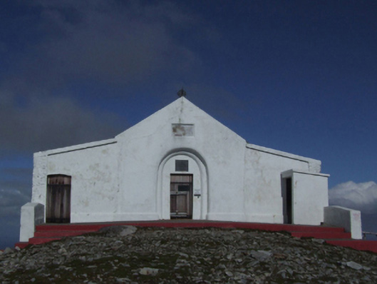 Saint Patrick's Catholic Oratorychurch/chapel · 29 yd
 IndicatedEnclosure · 678 yd
 Leaght MionnainPenitential station · 682 yd
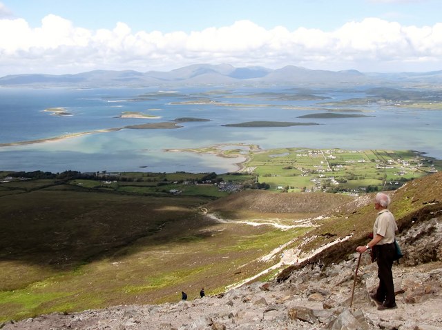 Croagh Patrick Pilgrim TrailWalking route · 1.1 mi
 Ben GoramMountain / peak · 1.1 mi
 Crott MountainMountain / peak · 1.5 mi
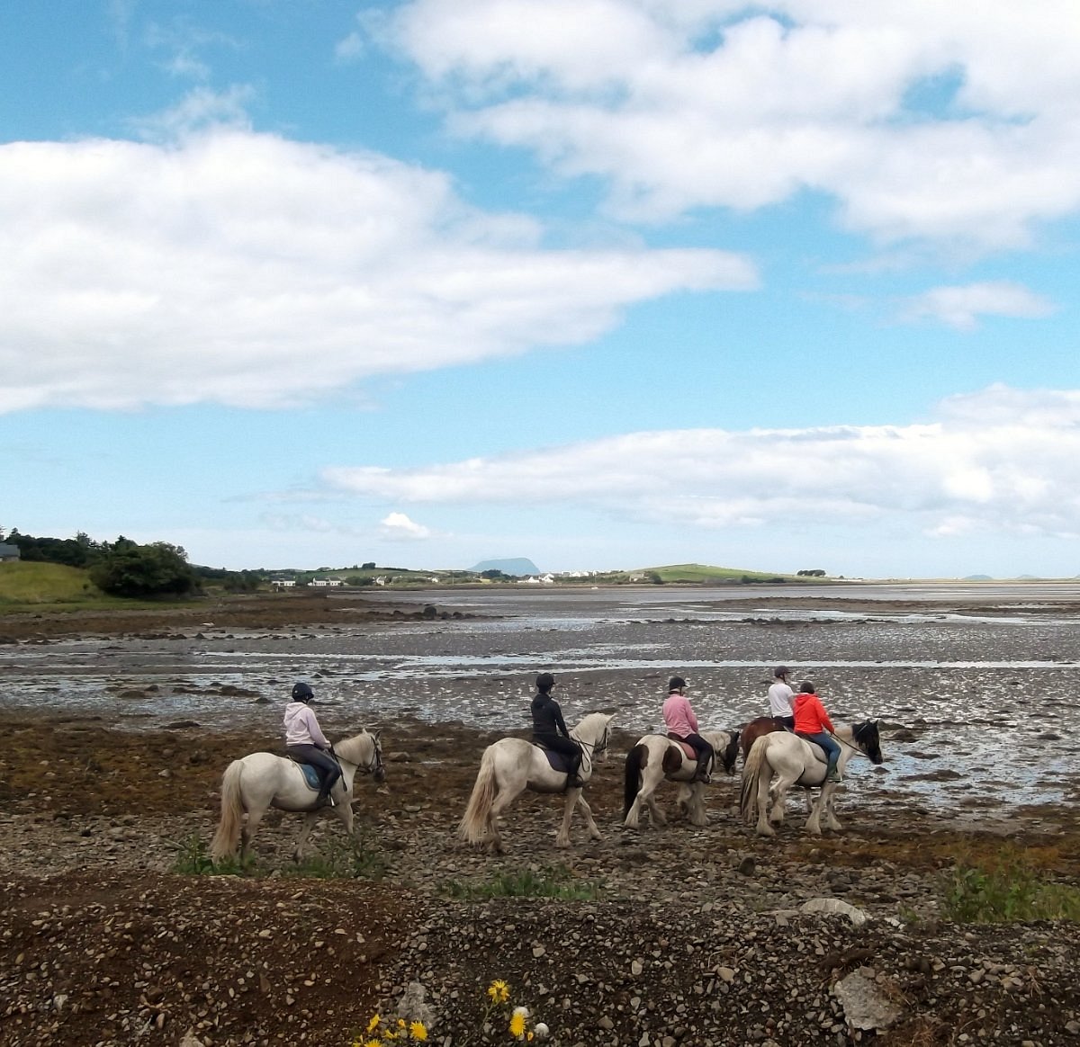 Croagh Patrick StablesHeritage attraction · 1.5 mi
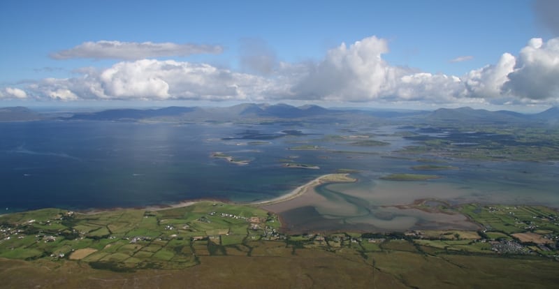 Thornhill StrandBeach / strand · 1.9 mi
 White StrandBeach / strand · 2.0 mi