What is recorded here
Kyle burial ground (KE035-042003-): The church (KE035-042002-) from which this townland derives its name no longer survives, though the field on the E side of the bridge across the Glennahoo river bears the name Páirc na Cille. Another field on the E side of the latter contains the remains of a roughly triangular calluragh burial ground.
The above description is derived from J. Cuppage, ‘Corca Dhuibhne. Dingle Peninsula archaeological survey. Ballyferriter. Oidhreacht Chorca Dhuibhne’ (1986), no. 837. In certain instances the entries have been revised and updated in the light of recent research.
Date of upload: 8 August 2013
The monument record does not grant public access. Check the route and ask the landowner before entering private land.
- What survives
- Recorded monument
Places near here
 Enclosure in Cnoc Na NgabharEnclosure · 864 yd
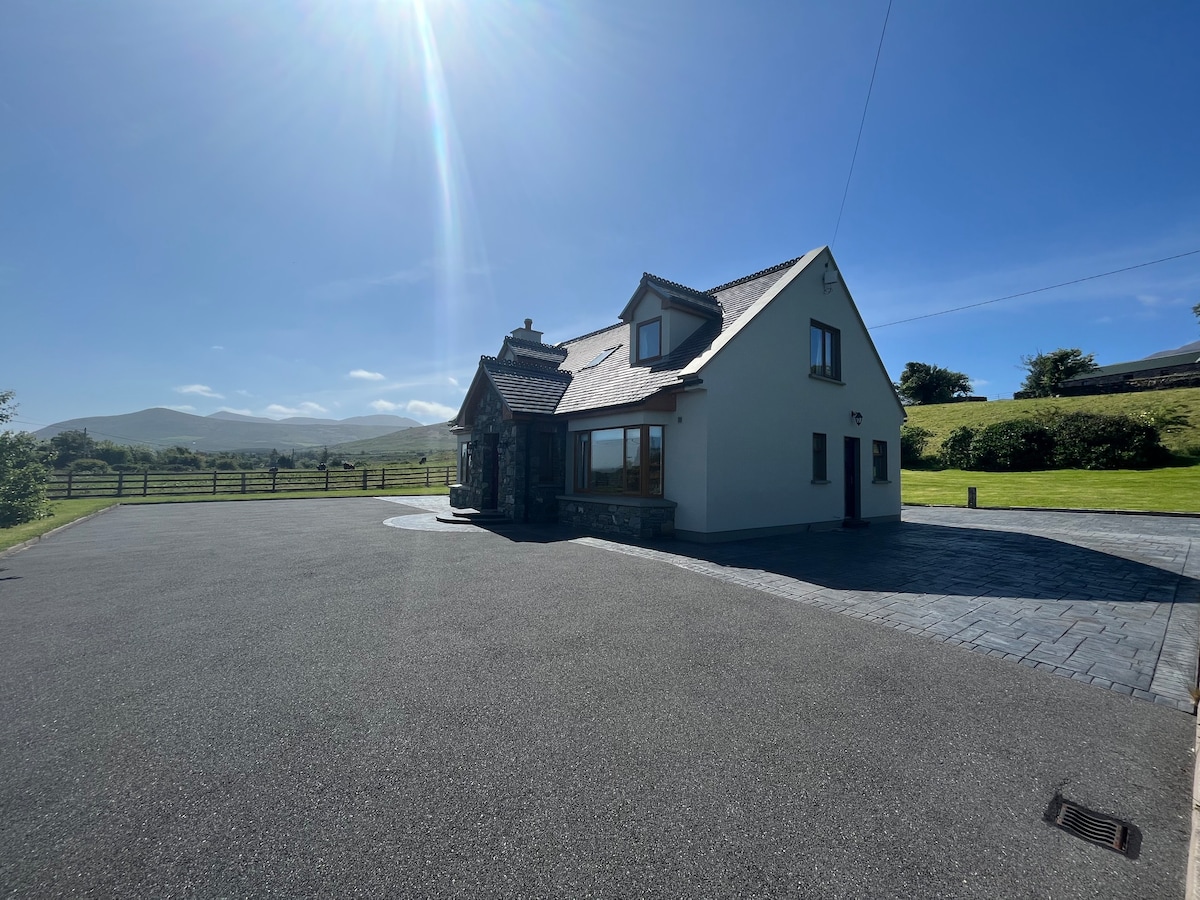 Hut site in An Droim ThoirHut site · 878 yd
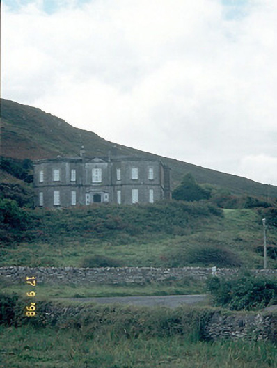 Fermoyle Househouse · 1065 yd
 Site of CastleCastle, unclassified · 1100 yd
 Drom BeachBeach / strand · 1152 yd
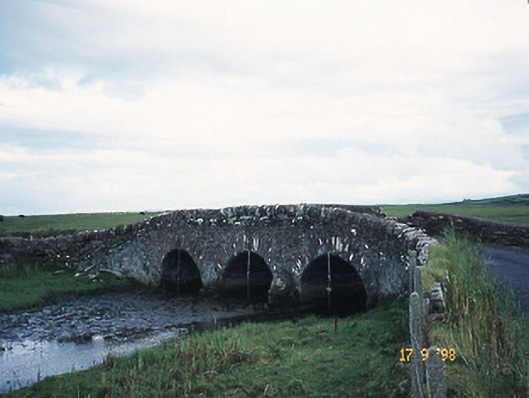 bridgebridge · 1281 yd
 Hillville WoodWood · 1598 yd
 An t'Oileán DubhIslet · 1.3 mi
 An CheapaighBeach / strand · 1.5 mi
 Binn an TuairMountain / peak · 1.8 mi
 Pointe na CathrachHeadland · 2.0 mi
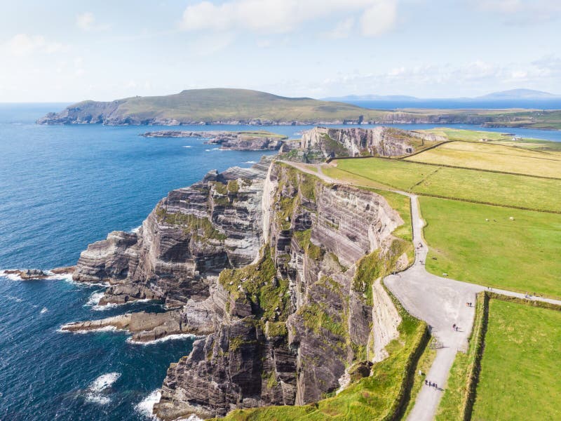 An Com BánMountain / peak · 2.1 mi