
What is recorded here
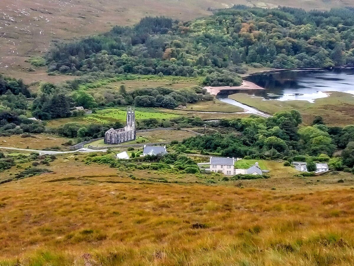
Drumdutton Church: Capt. Thomas Dutton, who erected a house and village here in the first quarter of the 17th century was probably also responsible for the building of this church. The walls of the church c. 15.8m by 3.9m internally are represented, for the most part, by grass-covered lower courses; the SE corner survives to a height of c. 1m and the lower section of the W gable has been incorporated in a field wall. The W 3.5m of the church had been closed off by a cross-wall; only the lower courses remain. Some moulded window and chamfered wall-press fragments lie among the fallen rubble masonry at the E end of the church; the former indicate a window of 17th century form and character. Other moulded fragments have been incorporated in the fabric of nearby farm outbuildings. Earlier accounts (Fagan Bk. 2, 7-8; Davies, Notes, 1940; Colhoun, Notes, 1944) describe the church as being of rubble construction with small ashlar quoins, having a blocked-up rectangular E window of three lights, a wall-press with chamfered surround at the E end of the S wall and the E ingoing of a doorway beside it on the W. 13.45m N of the NE corner of the church is an almost square block of granite (DG026-019004-) c. 0.45m x .5m. A depression .32m in diameter and 0.2m deep is carved on the top of the block. The burial ground (DG026-019002-) shown on the 2nd and 3rd editions of the OS 6-inch maps is not now visible.
The above description was derived from the 'Archaeological Survey of County Donegal. A description of the field antiquities of the County from the Mesolithic Period to the 17th century.' Compiled by: Brian Lacey with Eamon Cody, Claire Cotter, Judy Cuppage, Noel Dunne, Vincent Hurley, Celie O'Rahilly, Paul Walsh and Seán Ó Nualláin (Lifford: Donegal County Council, 1983). In certain instances the entries have been revised and updated.
Date of upload: 22 September 2008
Church in Drumdutton was likely built by Capt. Thomas Dutton in the early 17th century, around the same time he established a house and village at the site. It appears to be a small, rectangular church, reflecting early modern ecclesiastical architecture, and would have served the local community in a rural or estate setting.
The monument record does not grant public access. Check the route and ask the landowner before entering private land.
- What survives
- Recorded monument
Places near here
 Creevagh Fairy FortFairy fort / earthen ringfort · 1585 yd
 Lost Glenree Mound / FortEnclosure · 1.0 mi
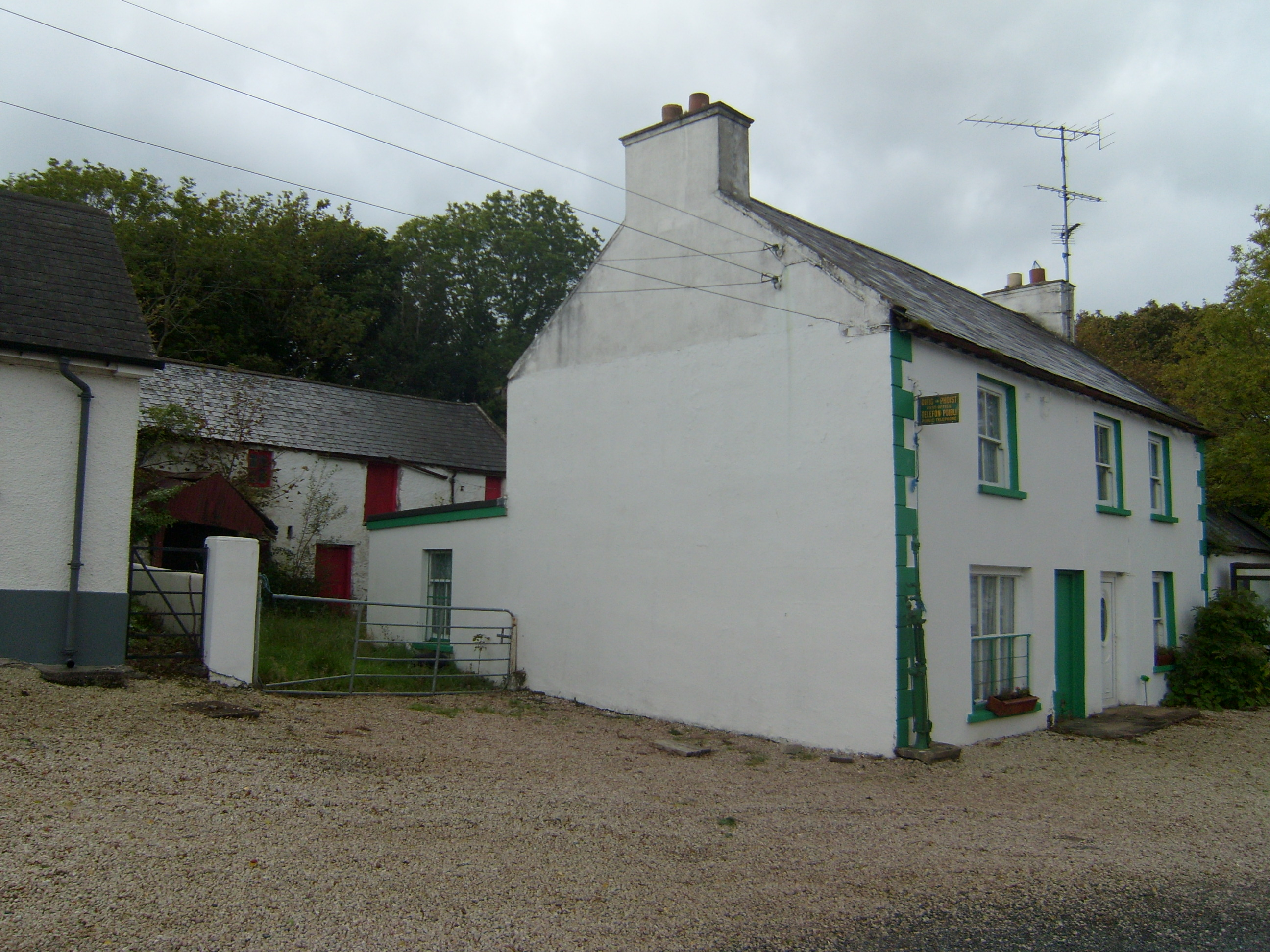 Glen Post Officehouse · 1.2 mi
 Lackagh Bridgebridge · 1.4 mi
 Doe CastleCastle, tower house · 1.5 mi
 Àn Trá MorBeach / strand · 1.7 mi
 Monterey CypressMonterey Cypress · 1.8 mi
 Monterey PineMonterey Pine · 1.8 mi
 Ards Friary Coastal LoopOfficial walking route · 1.8 mi
 Clonmass IslandIslet · 2.9 mi
 DowningsOfficial bathing water · 3.6 mi
 The TunnelHeritage attraction · 3.9 mi
Other information
Photo: Credit not shown in the picture search · Rights wording not checked; contact us if this picture should be removed