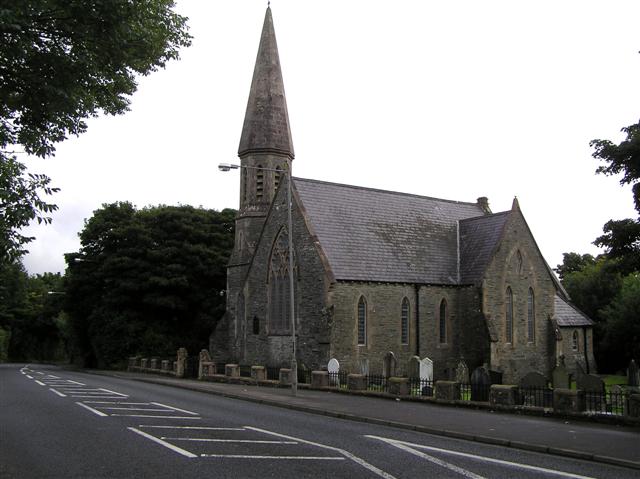
What is recorded here
The official Northern Ireland record identifies this as CHURCH. Recorded period: POST-MED. Recorded protection: Scheduled. The official map point was placed at the centre of the recorded archaeological site from the source map reference.
A local church or high cross; wider significance not recorded.
The monument record does not grant public access. Check the route and ask the landowner before entering private land.
- What survives
- Recorded monument
Places near here
 A.P. SITEA.P. SITE, 3 circular enclosures within large oval enclosure · 172 yd
 ENCLOSURE AND FLINT SCATTERS in BallynagardENCLOSURE AND FLINT SCATTERS · 993 yd
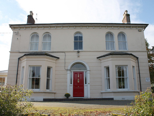 The Mansemanse · 1.1 mi
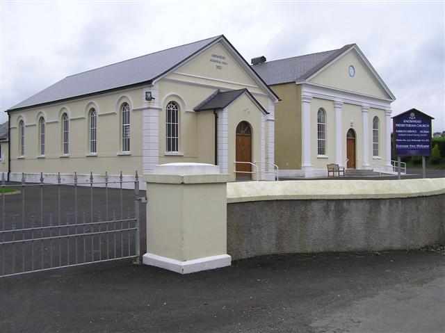 Knowhead Presbyterian Churchchurch/chapel · 1.2 mi
 CHURCH & GRAVEYARD: ENAGH or DOMNACH DOLA in TempletownCHURCH & GRAVEYARD: ENAGH or DOMNACH DOLA · 1.9 mi
 Siege of Derry Boom Stone"The Boom Stone" (Traditionally part of 17th century boom across the River Foyle during the Siege of Derry) · 2.1 mi
 Muff ForestWoodland walk · 2.2 mi
 Eskaheen GraveyardGraveyard · 2.7 mi
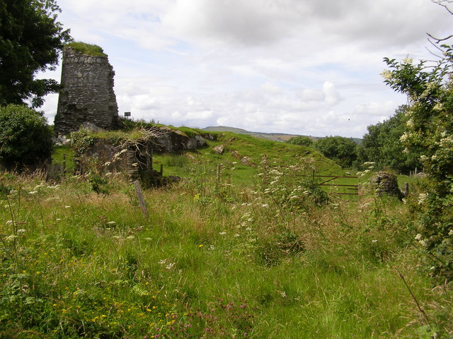 CASTLE & EARTHWORK ENCLOSURE: DOHERTY TOWER or CASTLE AILEACH in Elagh MoreCASTLE & EARTHWORK ENCLOSURE: DOHERTY TOWER or CASTLE AILEACH · 3.1 mi
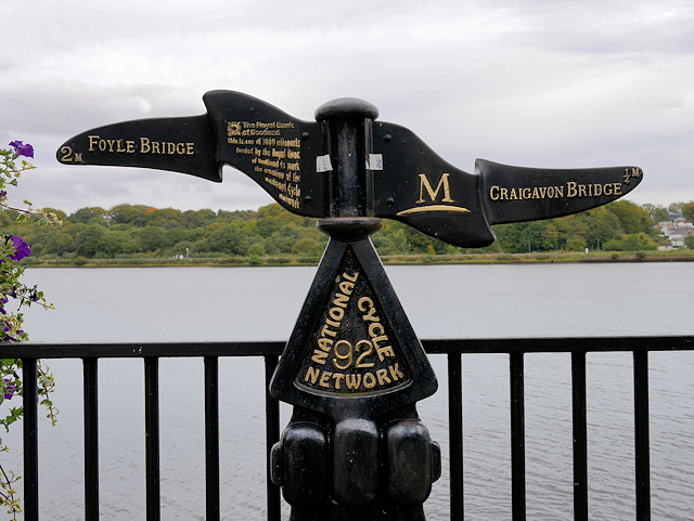 Millennium MilepostVisitor information · 3.9 mi
 Tower MuseumMuseum · 4.0 mi
 TOWER-HOUSE: O'DOHERTY'S CASTLE or THE MAGAZINE in Derry; LondonderryTOWER-HOUSE: O'DOHERTY'S CASTLE or THE MAGAZINE · 4.0 mi
Other information
Photo: Kenneth Allen · CC BY-SA 2.0