
What is recorded here
Collierstown townland is called Caillaghton in the extent of St. Mary’s abbey in Duleek (ME027-038028-) (White 1943, 318) and variously as Calleaghtown, Calliaghtowne and Callistowne in the Civil Survey (1654-6) (Simington 1940, 24) and the Down Survey (1656-8) maps. This is derived from Cailleach, meaning a hag, or in this context, possibly a nun. St. Mary's of Duleek was an Arrouaisian foundation with both male and female denizens, and the canonesses may have been moved to Collierstown in this instance as in others (Hadcock 1964, 128).
It is located towards the top of the S-facing slope of the ENE-WSW ridge of Bellewstown. A divided nave and chancel church with a blocked doorway in the S wall was discovered in excavation (E000031) by M. O hEanaigh of the National Museum of Ireland in 1934. Extended burials, some in slab-lined graves and pre-dating the church structure, were also recorded as well as small cists containing skulls, one of which was trepanned. Finds included ringed pins, jet bracelets, bronze buckles, a slate spindle whorl, and flints (SMR file). The excavations were back-filled and there is now no evidence of a structure, although locals sometimes find bones.
The above description is derived from the published 'Archaeological Inventory of County Meath' (Dublin: Stationery Office, 1987). In certain instances the entries have been revised and updated in the light of recent research.
Compiled by: Michael Moore
Date of upload/revision: 7 August, 2014
The church in Collierstown, Duleek Upper, was likely built in the 17th century, possibly on or near the site of an earlier medieval church associated with St. Mary’s Abbey in Duleek. Its significance lies in its connection to the abbey and its mention in historical land surveys, reflecting the religious and landholding structures of the period.
The monument record does not grant public access. Check the route and ask the landowner before entering private land.
- What survives
- Recorded monument
Places near here
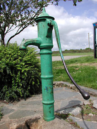 water pumpwater pump · 340 yd
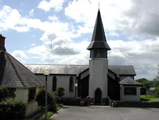 Saint Thérèse's Catholic Churchchurch/chapel · 347 yd
 Enclosure in Hilltown LittleEnclosure · 1093 yd
 Enclosure in Milltown (duleek Upper By.)Enclosure · 1195 yd
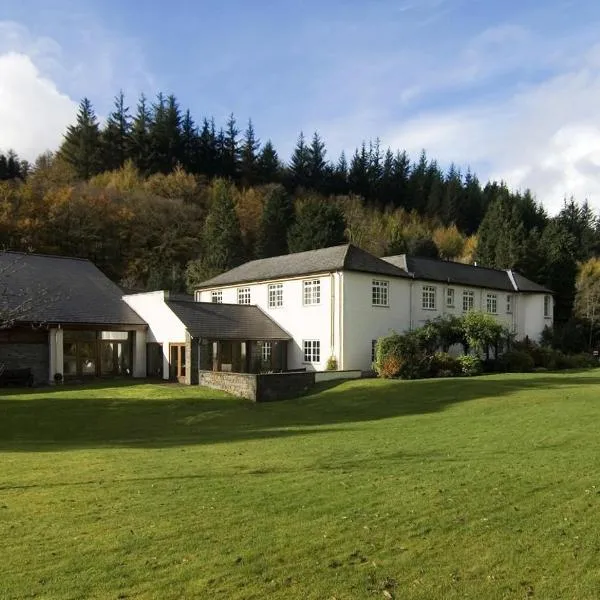 CastleCastle, ringwork · 1745 yd
 MoatCastle, motte · 2.1 mi
 Common LimeCommon Lime · 3.0 mi
 Tullog WoodForest · 3.2 mi
 Battle of Julianstownbattle · 3.4 mi
 Seamus Ennis Cultural CentreMemorial · 4.5 mi
 Newgrange Business ParkMemorial · 4.5 mi
 PuddenhillHeritage attraction · 5.0 mi
Other information
Photo: Credit not shown in the picture search · Rights wording not checked; contact us if this picture should be removed