What is recorded here
According to O'Rorke (1878, 93-4; 97), a 17th-century map shows a church or the ruins of a church on the land known as 'Patrick's pasture', located at the E side of Cloonmacduff townland and associated with a cashel (SL020-218002-). No remains of a church were noted here. A 'Druids Altar' (SL020-218003-) is in the centre of the cashel and St Patrick's well (SL020-217----) is c. 160m to SSW.
The above description is derived from the published 'Archaeological Inventory of County Sligo' compiled by Ursula Egan, Elizabeth Byrne, Mary Sleeman with Sheila Ronan and Connie Murphy (Dublin Stationery Office, 2005).
Date of upload: 18 January 2008
The monument record does not grant public access. Check the route and ask the landowner before entering private land.
- What survives
- Recorded monument
Places near here
 CashelFairy fort / stone ringfort · 1 yd
 St. Patricks WellHoly well · 197 yd
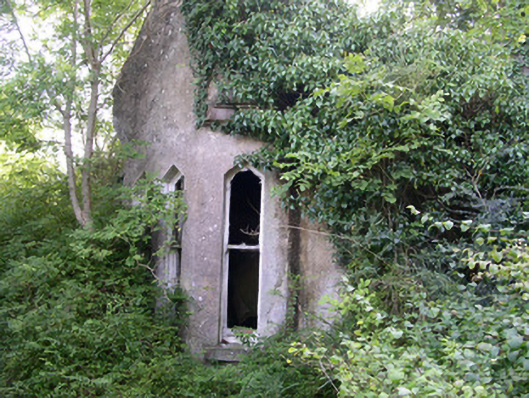 Markree Castlegate lodge · 1128 yd
 Church in BallydawleyChurch · 1159 yd
 CastleCastle, motte and bailey · 1216 yd
 Union RockForest · 1581 yd
 European ashEuropean ash · 1627 yd
 Battle of Collooneybattle · 1.2 mi
 Teeling MonumentMemorial · 1.2 mi
 Castle (in Ruins)Castle, tower house · 1.8 mi
 Giants GraveArchaeological place · 2.1 mi
 BunreecoillMountain / peak · 2.5 mi