What is recorded here
Unlocated church within the townland of Clonbullogue that is marked on the Down Survey (1655-6) map.
The above description is derived from the published 'Archaeological Inventory of County Offaly' (Dublin: Stationery Office, 1997). In certain instances the entries have been revised and updated in the light of recent research.
Date of upload: 23 May 2011
The monument record does not grant public access. Check the route and ask the landowner before entering private land.
- What survives
- Recorded monument
Places near here
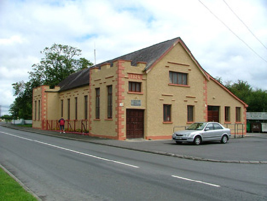 Saint Broughan's Hallhall · 96 yd
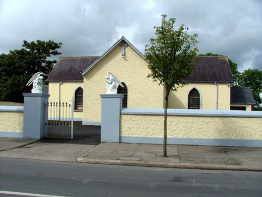 Catholic Church of the Sacred Heartchurch/chapel · 176 yd
 Sli na Slainte - mapVisitor information · 352 yd
 Enclosure in Derrymore (coolestown By.)Enclosure · 1476 yd
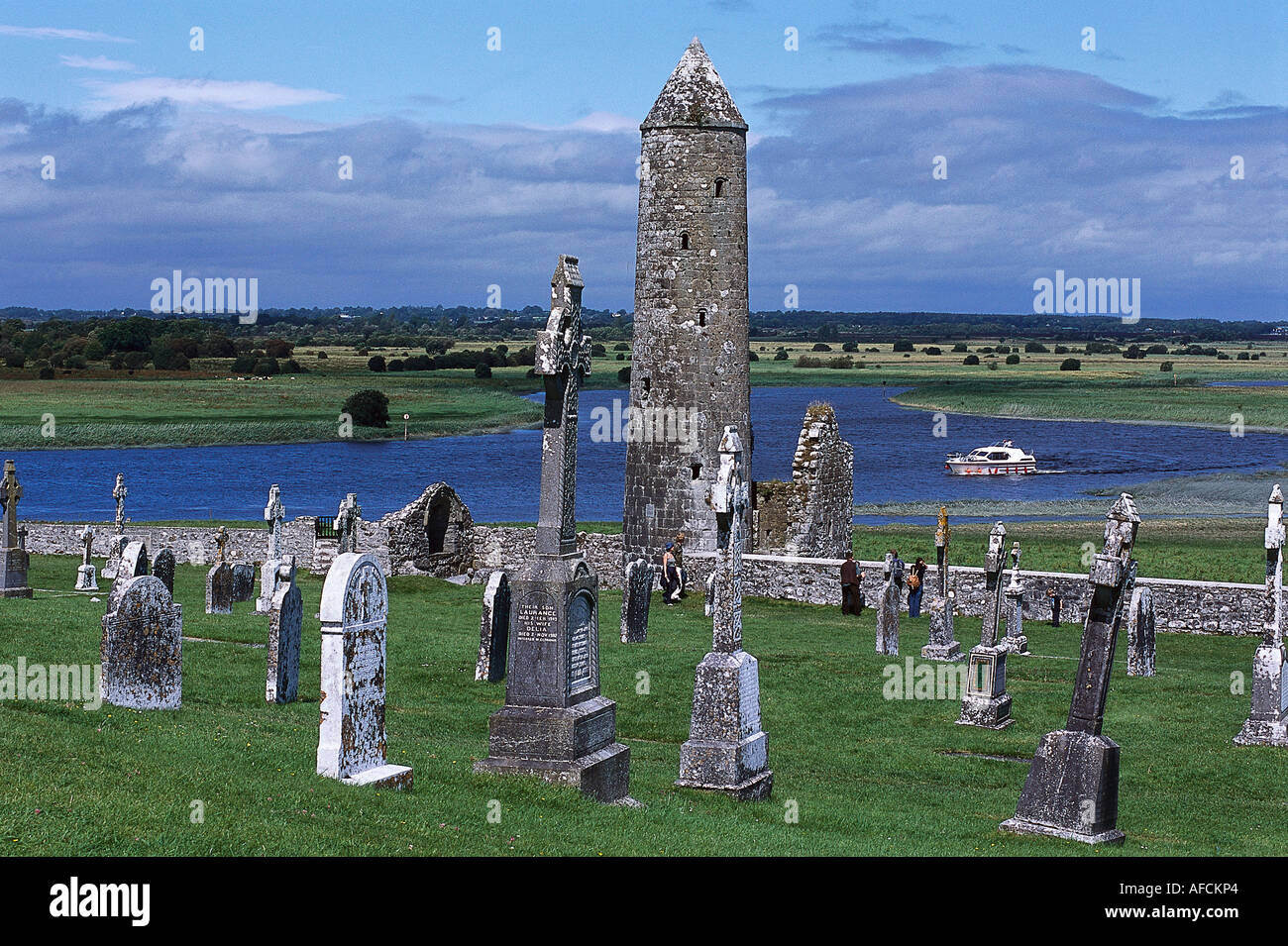 IndicatedEnclosure · 2.1 mi
 Allen family memorial headstoneMemorial · 3.5 mi
 Killinthomas Wood (Rathangan)Wood · 3.8 mi
 Community OrchardNature reserve · 4.3 mi
 Site of CastleCastle, tower house · 4.5 mi
 Bithia Mary CrokerMemorial · 4.6 mi
 Offaly CastleCastle, tower house · 4.9 mi
 The Fairy BowerHeritage attraction · 5.6 mi