What is recorded here
N-of-centre in graveyard (14563). Ruin of rectangular church (19.85m E-W; 9.95m N-S) built of limestone rubble. NW corner survives (H 3.2m), with returns of W (L 4.4m) and N (L 4.1m) walls. South wall evident as line of collapse, with some external stone facing. East end occupied by grave plot dated 1817, enclosed by narrow wall. These remains probably that of late 17th-century C of I parish church of Caherduggan (14711). This site identified by Power (1932, 102), Ó Buachalla (1966, 42) and MacCotter and Nicholls (1996, 37, 214) with 'Cill Curnain' of Crichad an Chaoilli and 'Kylcornan' of Pipe Roll of Cloyne. However Grove White (1905-25, vol. 2, 16) suggests that ancient church of Caherduggan was in 'church field' near Caherduggan Castle (14291). Wherever sited, parish church of Caherduggan listed in Papal Taxation of 1291, and reported in partial repair in 1615 (Brady 1863, vol. 2, 76).
The above description is derived from the published 'Archaeological Inventory of County Cork. Volume 4: North Cork' (Dublin: Stationery Office, 2000). In certain instances the entries have been revised and updated in the light of recent research.
Date of upload/revision: 14 January 2009
The monument record does not grant public access. Check the route and ask the landowner before entering private land.
- What survives
- Recorded monument
Places near here
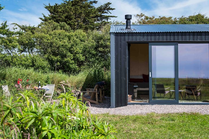 Enclosure in Clogheen (fermoy By.)Enclosure · 198 yd
 IndicatedQuarry · 499 yd
 Grave YardGraveyard · 617 yd
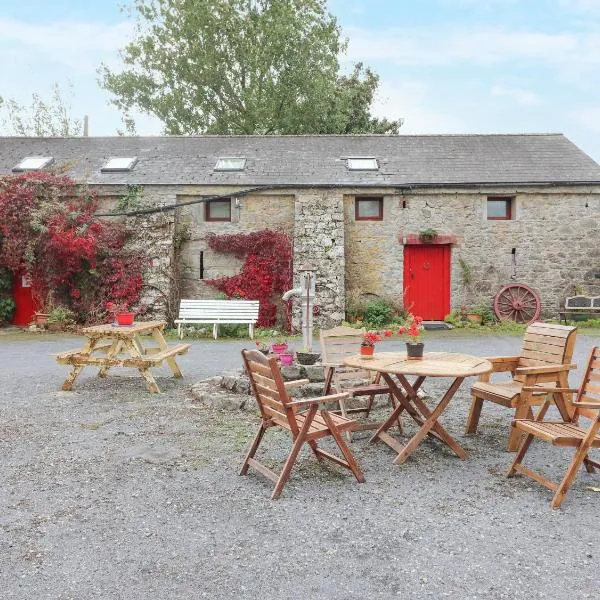 Clogheen HouseCountry house · 894 yd
 Caherduggan Castle (Site of)Castle, unclassified · 1225 yd
 CastleCastle, unclassified · 1.1 mi
 Doneraile HouseHeritage attraction · 1.8 mi
 Scots PineScots Pine · 1.9 mi
 Smith's WellSpring · 1.9 mi
 European YewEuropean Yew · 1.9 mi
 Charles BunworthMemorial · 2.4 mi
 David HurleyMemorial · 2.6 mi