
What is recorded here
The precise location of the medieval parish church in the historic town of Newscatleswest is uncertain. On the 1838 ed. OS 6-inch map the building now known as Desmond Hall is annotated 'Church (in ruins)' with the C of I church immediately to N. Westropp suggested that the C of I Church was built on the site of the medieval parish church.
The Urban Survey of Limerick (Bradley et. al. 1989, 208) recorded the following about the parish church of Newcastle; 'Westropp (1904-05, 406) notes that the church was destroyed in the early 14th century but whether this was the church close to the castle (LI036-067002-) or that in Churchtown (LI036-024001-) is unclear. By 1401 the church, apparently at Churchtown, was in good condition and was dedicated to St. David (ibid). It is mentioned again in the seventeenth century as being sited near St. David’s well (LI036-187----). There is a re-used window head with cusps, moulding over a well in the castle garden; fragments surround a well on the external bawn can be found around the ornamental pond to the castle wall'.
According to Westropp (1904-5, 208) 'There were two churches, one of late seventeenth century at Churchtown, near St. David's Well. The I. C. church "is on the site of the other," Order to change churches of Newcastle and Monagay to Newcastle, 1775 (L.M.H., pt. v., p. 176). The modern church was built, 1777, by W., Viscount Courtenay, who granted the site'.
Compiled by: Caimin O'Brien
Date of upload: 20 May 2019
This remains an important historical record, but the official description says the monument is no longer visible or has been destroyed. The monument record does not grant public access. Check the route and ask the landowner before entering private land.
- What survives
- No visible remains or recorded as destroyed
Places near here
 Allied Irish Bankbank/financial institution · 45 yd
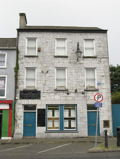 bank/financial institutionbank/financial institution · 63 yd
 Templars Castle (in ruins)Castle, Anglo-Norman masonry castle · 73 yd
 Burial GroundGraveyard · 865 yd
 Enclosure in Castle DemesneEnclosure · 938 yd
 Castle MahonCastle · 2.9 mi
 Limerick GreenwayWalking route · 3.4 mi
 St. Luke's WellSpring · 4.2 mi
 Sugar HillMountain / peak · 4.6 mi
 Saint Ite's WellSpring · 4.8 mi
 European ashEuropean ash · 5.0 mi
 Ballagh MountainMountain / peak · 5.9 mi
Other information
Photo: Credit not shown in the picture search · Rights wording not checked; contact us if this picture should be removed