What is recorded here
The church is marked on the Down Survey map (1655-6) and according to Seymour (1917, 40-41) it may have been located in the village of Cappawhite to the E of an unlocated castle (TS051-048----) for which it may have served as a chapel of ease. As the precise location of this church is unknown it is unlocated within the townland.
Compiled by: Jean Farrelly
Date of upload: 26 August 2011
The monument record does not grant public access. Check the route and ask the landowner before entering private land.
- What survives
- Recorded monument
Places near here
 CastleCastle, unclassified · 1 yd
 Ballysheeda Castle (in Ruins)Castle, tower house · 545 yd
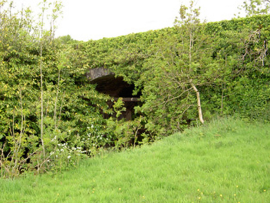 Ironmills Bridgebridge · 591 yd
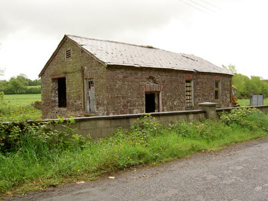 Ironmills Creamerycreamery · 685 yd
 IndicatedFairy fort / earthen ringfort · 870 yd
 Enclosure in Ballysheeda (donohill Par.)Enclosure · 1281 yd
 Green Field ParkWood · 1.4 mi
 Gortard WoodForest · 1.8 mi
 Soloheadbeg Ambushambush · 4.0 mi
 Soloheadbeg Ambush SiteMemorial · 4.7 mi
 LackenacreenaMountain / peak · 4.8 mi
 GortnageraghMountain / peak · 5.1 mi