
What is recorded here
Situated on low-lying level ground at the foot of a SW-facing slope in a narrow triangular area between two roads. The site is occupied by a farmhouse, now a workshop, and outbuildings, and there is no trace of any earlier structure. Marked as '(Site of) R.C. Chapel' on the 1838 OS 6-inch map.
The above description is derived from the published 'Archaeological Inventory of County Wicklow' (Dublin: Stationery Office, 1997). In certain instances the entries have been revised and updated in the light of recent research.
Date of upload/revision: 17 December 2008
A local church or high cross; wider significance not recorded.
This remains an important historical record, but the official description says the monument is no longer visible or has been destroyed. The monument record does not grant public access. Check the route and ask the landowner before entering private land.
- What survives
- No visible remains or recorded as destroyed
Places near here
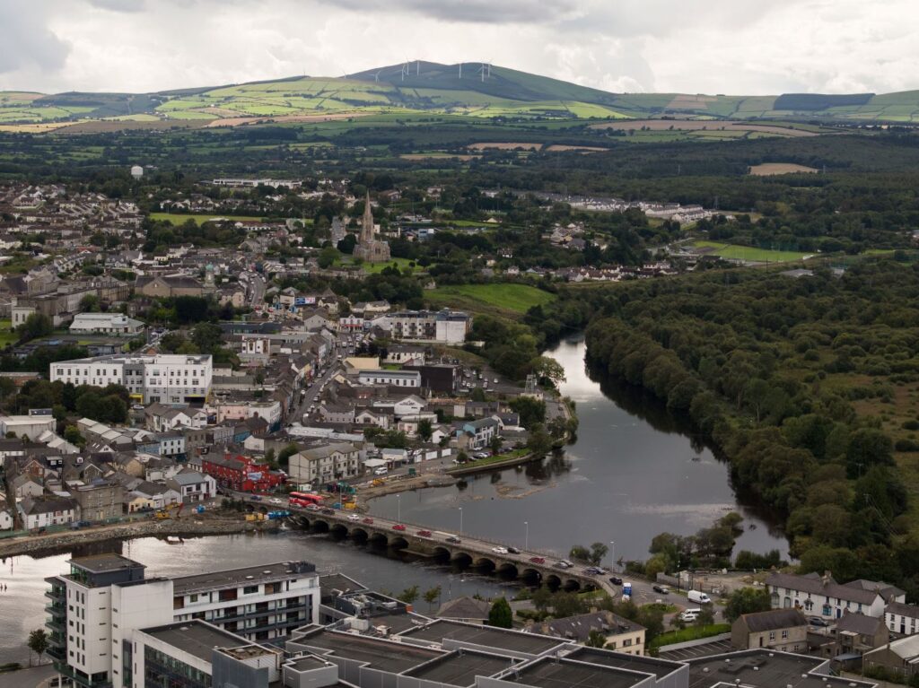 Lady WellHoly well · 1002 yd
 Church (Site of)Church · 1028 yd
 Church in Dunganstown WestChurch · 1208 yd
 European YewEuropean Yew · 1340 yd
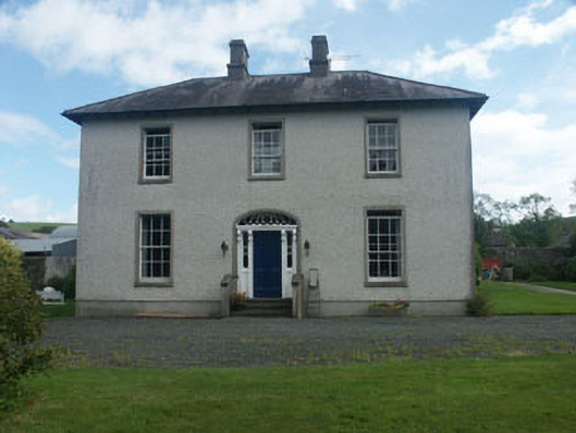 Dunganstown Housecountry house · 1371 yd
 European hornbeamEuropean hornbeam · 1386 yd
 Brittas BayBeach / strand · 2.5 mi
 Furzeditch BeachBeach / strand · 3.1 mi
 Viewing TowerHeritage attraction · 5.1 mi
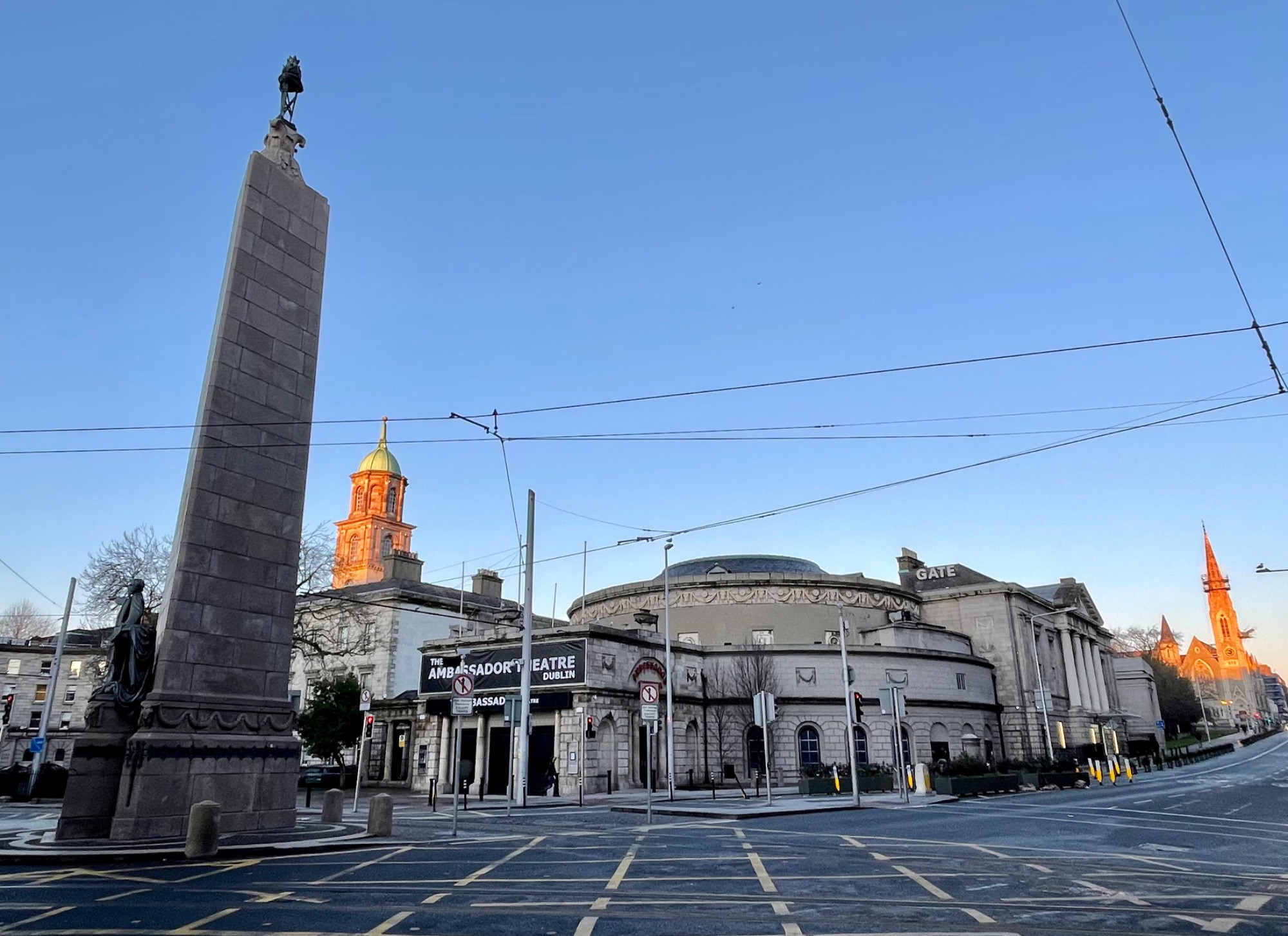 Parnell MonumentMemorial · 5.6 mi
 Meeting of the WatersHeritage attraction · 5.6 mi
 Wicklow 400Memorial · 5.6 mi
Other information
Photo: Credit not shown in the picture search · Rights wording not checked; contact us if this picture should be removed