What is recorded here
Church described as 'onruffed' in Civil Survey (1654-6) in 'Ballyknavine' (Simington 1931, vol. 1, 382). This church is unlocated within Ballynevin townland.
Compiled by: Jean Farrelly
Date of upload: 26 August 2011
The monument record does not grant public access. Check the route and ask the landowner before entering private land.
- What survives
- Recorded monument
Places near here
 Enclosure in BallynevinEnclosure · 446 yd
 Ballyboe Househouse · 1135 yd
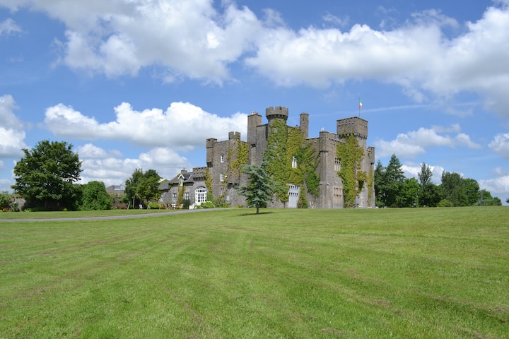 Ballyglasheen CastleCastle · 1161 yd
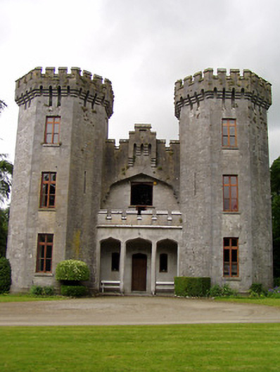 Anner Castlecountry house · 1294 yd
 IndicatedEnclosure · 1306 yd
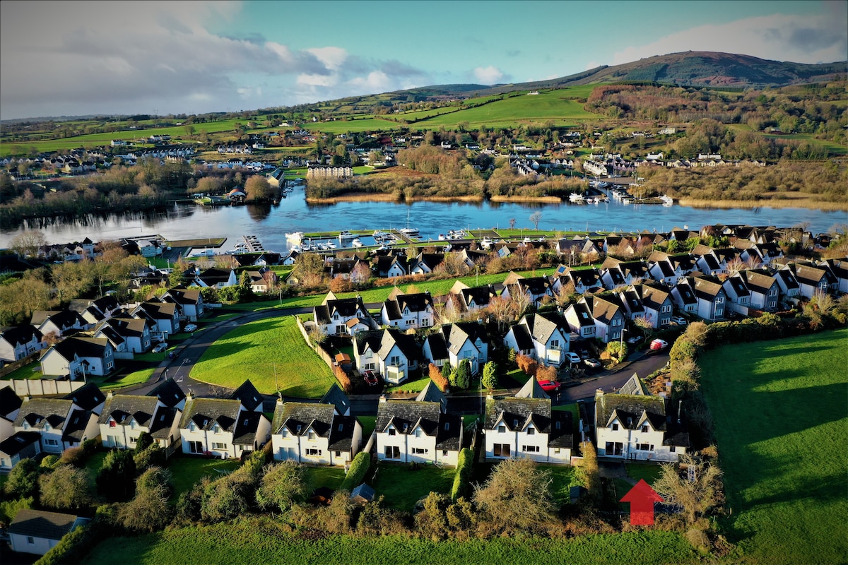 Ballina HouseCastle, unclassified · 1310 yd
 Black PoplarBlack Poplar · 1.1 mi
 Lebanon CedarLebanon Cedar · 1.4 mi
 CarrigcoumMountain / peak · 3.5 mi
 CarrickbrockMountain / peak · 3.6 mi
 RetrospectMemorial · 4.0 mi
 Charles BianconiMemorial · 4.3 mi