What is recorded here
Located on a NE facing slope under rough pasture. Comprises a raised circular area which is defined by a bank (H 0.50-0.60m) running SW-NE and elsewhere a scarp (max. ext. diam. 15.50m). There is an entrance ramp in the NE. Some stones are visible in the bank along the NW-NE. Local tradition records a church at the site (Hegarty 1939, 70; Price 1944, 112; Healy 1974, 25)
The monument record does not grant public access. Check the route and ask the landowner before entering private land.
- What survives
- Recorded monument
Places near here
 Graveyard in BallymanaGraveyard · 2 yd
 Enclosure in KillinardanEnclosure · 613 yd
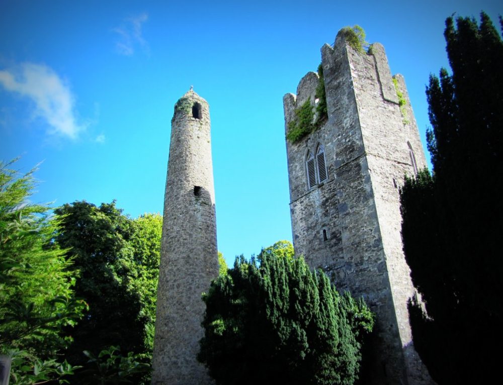 Mound in KillinardanMound · 730 yd
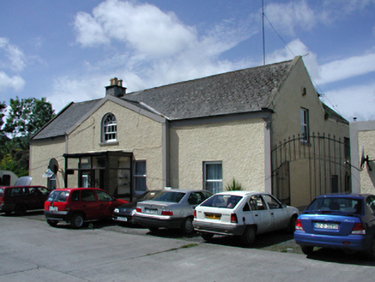 Marlfield Housefarm house · 1062 yd
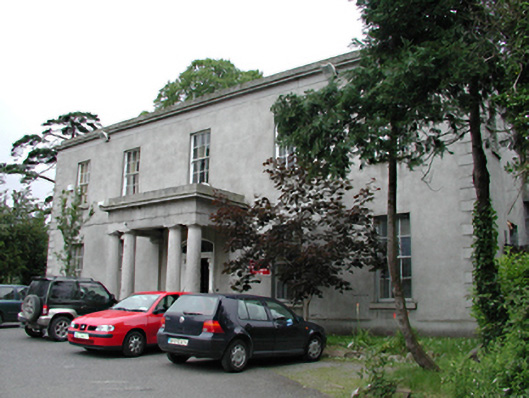 Kiltalown Housecountry house · 1731 yd
 KnackannaveaMountain / peak · 1.3 mi
 SlievenabawnogeMountain / peak · 1.5 mi
 Sean Walsh ParkVisitor information · 1.5 mi
 Ballinascorney WoodForest · 1.5 mi
 SpringfieldNamed rock · 1.6 mi
 CastleCastle, unclassified · 1.6 mi
 Waterfall viewing pointHeritage attraction · 1.8 mi