
What is recorded here
Situated on rock outcrop on the W shoulder of a knoll. There is only one reference to 'Cill Briocain' at 'Baile na Guaithe' stating that it was located just NE of a spot-height on the 1840 ed. of the OS 6-inch map (Power 1906a, 19). It is not visible at ground level, and may be occupied by farm buildings. It may have been a penal church.
Power, Rev. P. (1906a) The place-names of the Decies WAJ 9, 12-39, 80-106, 154-70, 228-65.
The above description is derived from the published 'Archaeological Inventory of County Waterford' (Dublin: Stationery Office, 1999). In certain instances the entries have been revised and updated in the light of recent research.
Compiled by: Michael Moore
Date of upload/revision: 14 February 2011
The monument record does not grant public access. Check the route and ask the landowner before entering private land.
- What survives
- Recorded monument
Places near here
 CaveMan-made underground passage · 971 yd
 Kilcaragh Church (in ruins)Church · 978 yd
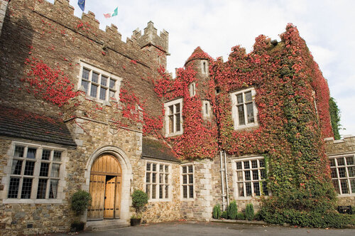 Fulacht fia in BishopscourtFulacht fia · 1092 yd
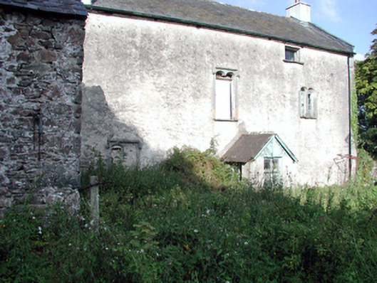 Ballygunner Castlehouse · 1648 yd
 Ballinakill WoodsWood · 2.0 mi
 The Baldy ManViewpoint · 4.5 mi
 Sugar Loaf RockMountain / peak · 4.6 mi
 Memory of the crew of "Rescue 111"Memorial · 4.7 mi
 Tramore Dunes WalkWalking route · 4.8 mi
 Tramore StrandBeach / strand · 5.0 mi
 Cullen Castle (in ruins)Castle, tower house · 5.1 mi
Other information
Photo: Credit not shown in the picture search · Rights wording not checked; contact us if this picture should be removed