What is recorded here
The precise location of Ballynclogh Church has not been identified. Westropp (1904-5, 371-2) gives the following details on Crewally or Ballyclogh Church; ‘Crewally, or Ballyclogh (13). In same. It derived its name from the Ui mhaille, who, with the Ui Cadhla, were chiefs of Tuath Luimneach, and were confirmed in their lands by King John. Donaldmore granted lands as far as Imalin in 1192-94 (B.B.L., xxix.); Imailidin, 1201. King John granted lands in Omayll to Bishop Edmund (B.B.L., pp. 95, 119), April, 1230, confirming same with its villeins (C.S.P.I., vol. i., No. 1812); Crevath Omayll, and Donachmor resigned by Athassell, 1239 (B.B.L., p. 90) ; Crewacgh, near Donaghmor, 1253 (lb., p. 101); Crevachmahill Church, 1302; Crew Ymallie, 1336 (De Rupefort's rental); "Crewe Iwally, alias Ballyincloghe, in possession of Chris. Arthur," given after Knocknegawell, and next Rathwerde, 1615 (Inq. 18 Mar., xii Jac. I., p. 162); Crewally, 1615; Crinbhailly, or Cliny, 1645. It formed the north part of the present parish of Knocknegall. Site - A castle, but no church site, remains in Ballyclogh.
Compiled by: Caimin O'Brien
Date of upload: 26 October 2018
The monument record does not grant public access. Check the route and ask the landowner before entering private land.
- What survives
- Recorded monument
Places near here
 Ballyclogh Househouse · 169 yd
 CastleCastle, unclassified · 341 yd
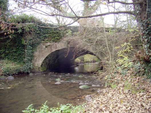 Roxborough Bridgebridge · 711 yd
 Mound in RoxboroughMound · 787 yd
 Enclosure in RoxboroughEnclosure · 1351 yd
 Castle (in ruins)Castle, tower house · 1.7 mi
 Fountain SculptureHeritage attraction · 4.4 mi
 Visitor CentreVisitor information · 4.4 mi
 Campus MapVisitor information · 4.4 mi
 Sailors HaggardMemorial · 5.6 mi
 Grass IslandIslet · 8.4 mi
 Maiden RockNamed rock · 8.7 mi