
What is recorded here
M. R. Colhoun recorded 'Kilpatrick field with a graveyard (DG012-014002-) nearby' here. No trace of this could be found. The site is located on rough, rocky ground overlooking the N side of Tremone Bay. According to the Donegal Survey there was 'In the 2nd field to the west, an oval shaped piece of raised ground were what appears to be a rectangular foundation, measuring 3.9m N-S x 5.3m E-W, defined by a very slightly raised wll with hollow interior. It is so indistinct that it is not even possible to measure accurately the width of the walls' (DAS field notes, ASI archives).
The above description was derived from the 'Archaeological Survey of County Donegal. A description of the field antiquities of the County from the Mesolithic Period to the 17th century.' Compiled by: Brian Lacey with Eamon Cody, Claire Cotter, Judy Cuppage, Noel Dunne, Vincent Hurley, Celie O'Rahilly, Paul Walsh and Seán Ó Nualláin (Lifford: Donegal County Council, 1983). In certain instances the entries have been revised and updated.
Date of upload: 22 September 2008
A local church or high cross; wider significance not recorded.
The monument record does not grant public access. Check the route and ask the landowner before entering private land.
- What survives
- Recorded monument
Places near here
 Tremone BayBeach / strand · 1129 yd
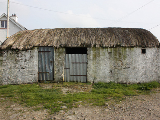 outbuildingoutbuilding · 1212 yd
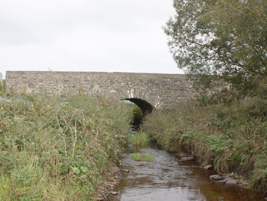 Drumnagassan Bridgebridge · 1747 yd
 Promontory fortPromontory fort, coastal · 1.8 mi
 Knockergrana Stone Enclosure near Glacknadrummond ChurchEnclosure · 1.8 mi
 CuldaffOfficial bathing water · 2.8 mi
 The Spanish Armada 1588Memorial · 2.9 mi
 CastleCastle, unclassified · 3.4 mi
 CrockaulinMountain / peak · 4.6 mi
 CrockavishaneMountain / peak · 5.3 mi
 Cooley CrossMemorial · 6.1 mi
 Inishowen Maritime Museum and PlanetariumMuseum · 6.3 mi
Other information
Photo: Credit not shown in the picture search · Rights wording not checked; contact us if this picture should be removed