What is recorded here
The Grand Jury Presentments of 1831 (Price 1957, 283) refer to 'the churchyard field on Ballybrew'. Price also suggests that the 'bruach' of 'baile an bhruach' (Ballybrew) may refer to a boundary, in this case between two abbeys.
The above description is derived from the published 'Archaeological Inventory of County Wicklow' (Dublin: Stationery Office, 1997). In certain instances the entries have been revised and updated in the light of recent research.
Date of upload/revision: 17 December 2008
The monument record does not grant public access. Check the route and ask the landowner before entering private land.
- What survives
- Recorded monument
Places near here
 Font (present location) in UnknownFont (present location) · 421 yd
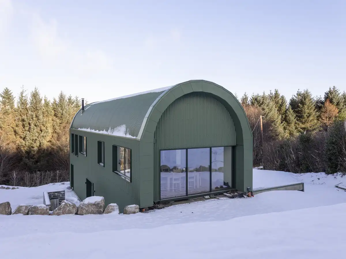 Enclosure in BallybrewEnclosure · 801 yd
 Glencullen Bridgebridge · 870 yd
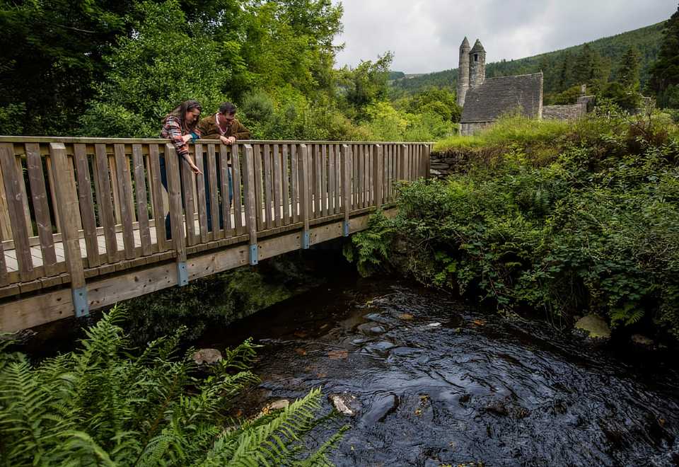 Anacrivey WoodForest · 1286 yd
 Curtlestown WoodForest · 1678 yd
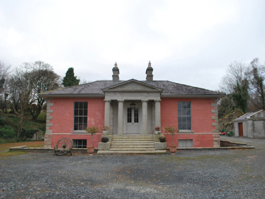 Glencullen Housecountry house · 1.0 mi
 Prince William's SeatMountain / peak · 1.2 mi
 Barnaslingan HillMountain / peak · 1.7 mi
 Powerscourt EstateHeritage attraction · 1.7 mi
 Barnaslingan - Scalp Lookout TrailWalking route · 1.9 mi
 Barnaslingan - Pine loop trailWalking route · 1.9 mi
 Ballycorus castle Site ofCastle, tower house · 2.2 mi