What is recorded here
Situated at the bottom of a S-facing slope of Slievecoiltia Hill and at the headwaters of a small N-S stream. This church is probably of an early origin. The grass covered foundations of a nave (ext. dims. 14m E-W; 7m N-S) and chancel (ext. dims. 5m E-W; 4m N-S) church are very slight (Wth 0.9-1m; max. H 0.7m) and are within the NW angle of a subrectangular graveyard (int. dims. 47m E-W; 13m N-S at E to 27m N-S at W) defined by a stone clad earthen bank. The graveyard is within a large enclosure (int. dims. 94m E-W; 86m N-S) defined by slight traces of a fosse (Wth c. 13m) NNW-E and a scarp SE-SW. The site of Crone Well (WX039-010----) is just outside the enclosure at SW, and this well was dedicated to the Blessed Virgin Mary, according to John O’Donovan writing c. 1840 (O’Flanagan 1933, vol. 2, 192), while St. Bridget’s well (WX039-012----) is c. 580m to the SE.
The above description is derived from the published 'Archaeological Inventory of County Wexford' (Dublin: Stationery Office, 1996). In certain instances the entries have been revised and updated in the light of recent research.
Compiled by: Michael Moore
Date of upload/revision: 24 January, 2013
The monument record does not grant public access. Check the route and ask the landowner before entering private land.
- What survives
- Recorded monument
Places near here
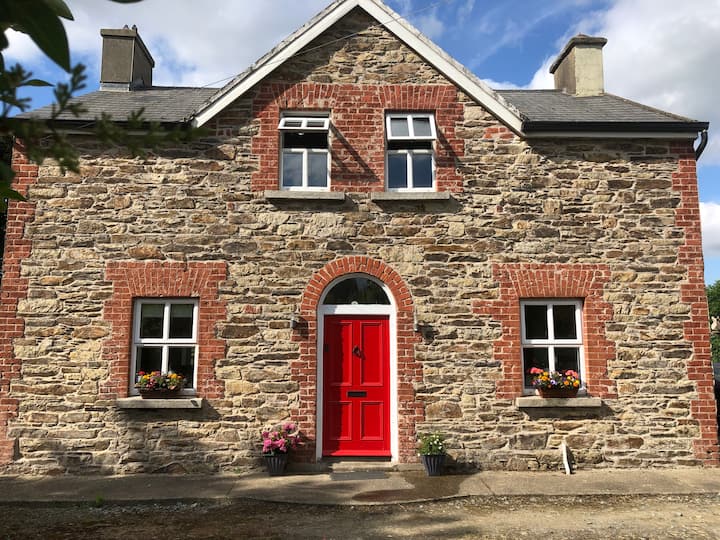 Ecclesiastical enclosure in BallybrazilEcclesiastical enclosure · 1 yd
 Silver WattleSilver Wattle · 552 yd
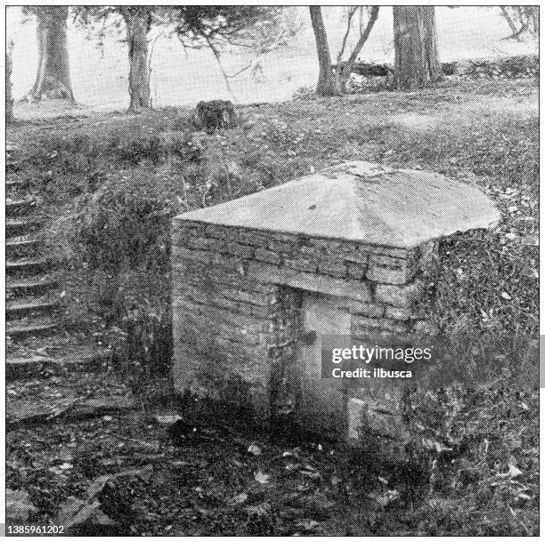 St. Bridgets WellHoly well · 638 yd
 Bamboo CollectionVisitor information · 665 yd
 Arboretum MapVisitor information · 820 yd
 The John F. Kennedy ArboretumForest · 990 yd
 Church (in ruins)Church · 1032 yd
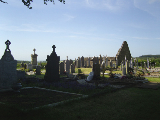 graveyard/cemeterygraveyard/cemetery · 1033 yd
 Castle (in ruins)Bawn · 1175 yd
 John F. Kennedy Arboretum MuseumMuseum · 1198 yd
 CastleCastle, tower house · 1214 yd
 Garden of RemembranceMemorial · 1.2 mi