
What is recorded here
According to local information there was a medieval village (OF016-041002-), which was bulldozed in the 1970s, located to the SW of the castle (pers. comm. Vincent Cummins). According to local information there was the ruins of a small building known locally as the 'old church' (OF016-004003-) located 110m to the SW of the castle, this building was levelled in the 1950s and only a low rise of ground indicates the site of the possible church today (pers. comm. Vincent Cummins). Approximately 180m SW of the castle (OF014-004001-) a 14th century chalice known as the De Burgo chalice was discovered in the 1930s and this chalice is now stored in the National Museum of Ireland.
The monument record does not grant public access. Check the route and ask the landowner before entering private land.
- What survives
- Recorded monument
Places near here
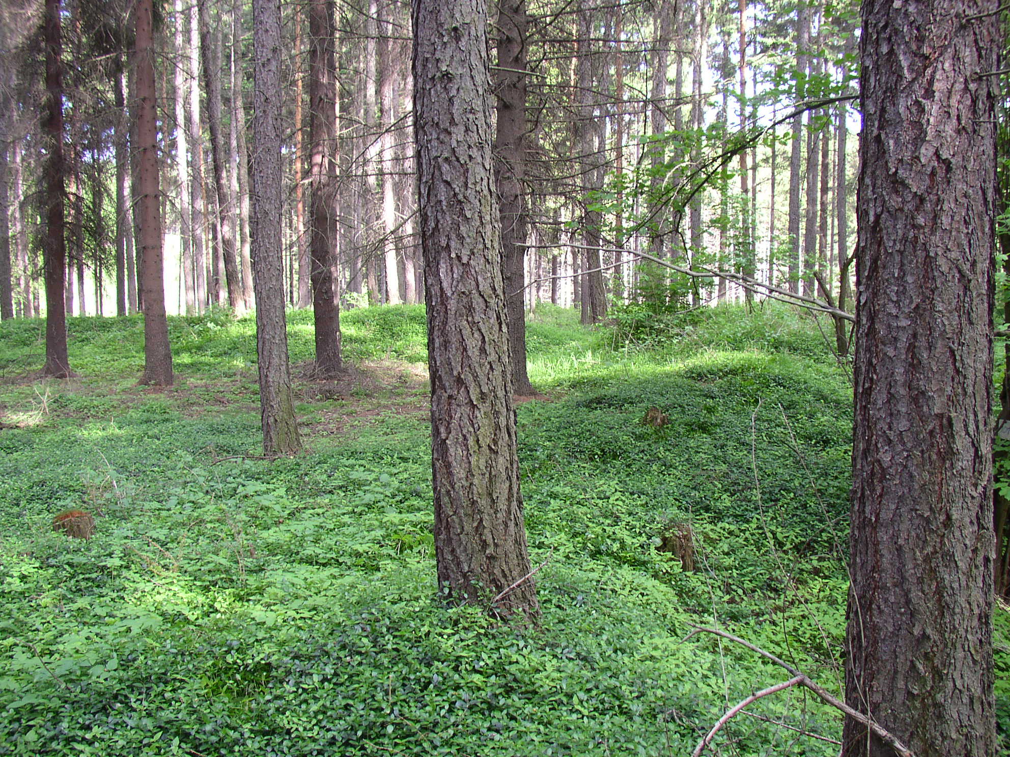 Settlement desertedSettlement deserted, medieval · 102 yd
 Castle (in ruins)Castle, tower house · 120 yd
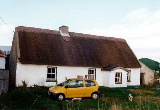 farm housefarm house · 609 yd
 Trumpet HillMountain / peak · 869 yd
 Burial ground in AharneyBurial ground · 1281 yd
 Castle in ruinsCastle, unclassified · 1.2 mi
 RoadRoad, class 3 togher · 1.3 mi
 European ashEuropean ash · 1.7 mi
 European YewEuropean Yew · 2.0 mi
 Clara Bog BoardwalkHeritage attraction · 2.4 mi
 Christ's WellSpring · 3.1 mi
 St. Columba's WellSpring · 3.2 mi
Other information
Photo: Credit not shown in the picture search · Rights wording not checked; contact us if this picture should be removed